Area Overview for SW2 4TH
Photos of SW2 4TH
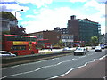
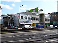
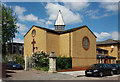
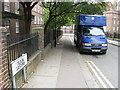
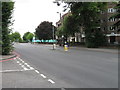
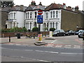

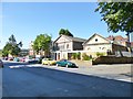
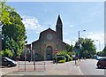
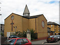
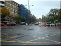
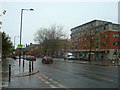
100 photos from this area
Area Information
Key information about the SW2 4TH including its size, population, and administrative classification.
- Area Type
- Postcode
- Area Size
- 2894 m²
- Population
- 1867
- Population Density
- 12692 people/km²
House Prices in SW2 4TH
32
Properties
£243,067
Average Sold Price
£71,000
Lowest Price
£425,000
Highest Price
Showing 32 properties
| Address | Type | Beds | Baths | Last Sale Price | Last Sale Date | |
|---|---|---|---|---|---|---|
| 21, Corner Fielde, Streatham Hill, London, SW2 4TH | Flat | 1 | 1 | £355,000 | Apr 2025 | |
| 3, Corner Fielde, Streatham Hill, London, SW2 4TH | Flat | 1 | 1 | £319,000 | Apr 2025 | |
| 17, Corner Fielde, Streatham Hill, London, SW2 4TH | Flat | 1 | 1 | £350,000 | Nov 2024 | |
| 25, Corner Fielde, Streatham Hill, London, SW2 4TH | Flat | - | - | £342,500 | Jun 2021 | |
| 6, Corner Fielde, Streatham Hill, London, SW2 4TH | Flat | - | - | £390,000 | Aug 2019 | |
| 31, Corner Fielde, Streatham Hill, London, SW2 4TH | Flat | - | - | £425,000 | Dec 2017 | |
| 10, Corner Fielde, Streatham Hill, London, SW2 4TH | Flat | 2 | 1 | £370,000 | Jun 2017 | |
| 24, Corner Fielde, Streatham Hill, London, SW2 4TH | Flat | - | - | £180,000 | May 2011 | |
| 4, Corner Fielde, Streatham Hill, London, SW2 4TH | Flat | 1 | 1 | £176,500 | Jul 2007 | |
| 20, Corner Fielde, Streatham Hill, London, SW2 4TH | Flat | - | - | £172,000 | Feb 2007 |
Page 1 of 4
Energy Efficiency in SW2 4TH
Amenities
Schools
| Rank | School | Type | Entry gender | Ages |
|---|
Explore more schools in this area
Go to Schools tabDemographics
Household Size
Family (3-5 people)
most common
Accommodation Type
Flats
most common
Tenure
49
majority
Ethnic Group
White
most common
Religion
N/A
most common
Household Composition
N/A
most common
Age
47
median
Adults (30-64 years)
most common
Household Deprivation
N/A
with no deprivation
NS-SEC
44
in Lower managerial occupations
Explore more demographic insights in this area
Go to Demographics tabPlanning
Planning Constraints
- Flood RiskPremium
- Ramsar Wetland SitesPremium
- Area of Outstanding Natural BeautyPremium
- Protected Nature ReservePremium
- Protected WoodlandPremium