Area Overview for SW2 3HZ
Photos of SW2 3HZ
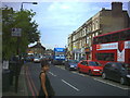
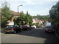
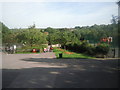
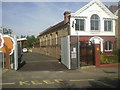
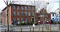
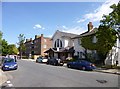
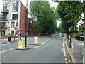
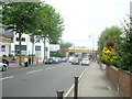
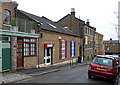
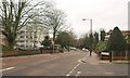
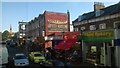

100 photos from this area
Area Information
Key information about the SW2 3HZ including its size, population, and administrative classification.
- Area Type
- Postcode
- Area Size
- 2.3 hectares
- Population
- 1597
- Population Density
- 9907 people/km²
House Prices in SW2 3HZ
38
Properties
£669,287
Average Sold Price
£57,000
Lowest Price
£1,600,000
Highest Price
Showing 38 properties
| Address | Type | Beds | Baths | Last Sale Price | Last Sale Date | |
|---|---|---|---|---|---|---|
| 107 Kingsmead Road, London, SW2 3HZ | Semi-detached | 5 | 3 | £1,600,000 | Aug 2025 | |
| 89 Kingsmead Road, London, SW2 3HZ | Detached | 1 | 1 | £666,666 | Jan 2024 | |
| 101 Kingsmead Road, London, SW2 3HZ | house | 4 | 2 | £1,010,000 | Sep 2020 | |
| 93 Kingsmead Road, London, SW2 3HZ | Semi-detached | 5 | 3 | £1,250,000 | Aug 2017 | |
| 67 Kingsmead Road, London, SW2 3HZ | Semi-detached | 5 | - | £1,358,000 | Apr 2017 | |
| 99 Kingsmead Road, London, SW2 3HZ | Semi-detached | 4 | 1 | £902,500 | Jan 2017 | |
| 109 Kingsmead Road, London, SW2 3HZ | house | - | - | £850,000 | Dec 2013 | |
| 69 Kingsmead Road, London, SW2 3HZ | Semi-detached | 5 | - | £882,500 | Jul 2013 | |
| 87 Kingsmead Road, London, SW2 3HZ | house | 5 | - | £700,000 | Feb 2012 | |
| 111 Kingsmead Road, London, SW2 3HZ | Semi-detached | 4 | 3 | £580,000 | May 2011 |
Page 1 of 4
Energy Efficiency in SW2 3HZ
Amenities
Schools
| Rank | School | Type | Entry gender | Ages |
|---|
Explore more schools in this area
Go to Schools tabDemographics
Household Size
Family (3-5 people)
most common
Accommodation Type
Flats
most common
Tenure
56
majority
Ethnic Group
White
most common
Religion
N/A
most common
Household Composition
N/A
most common
Age
47
median
Adults (30-64 years)
most common
Household Deprivation
N/A
with no deprivation
NS-SEC
47
in Lower managerial occupations
Explore more demographic insights in this area
Go to Demographics tabPlanning
Planning Constraints
- Flood RiskPremium
- Ramsar Wetland SitesPremium
- Area of Outstanding Natural BeautyPremium
- Protected Nature ReservePremium
- Protected WoodlandPremium