Area Overview for SW2 3HE
Photos of SW2 3HE
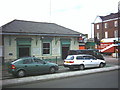
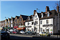
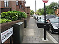
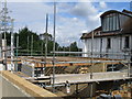

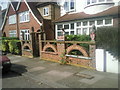
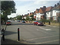
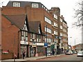
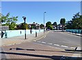
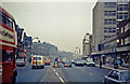
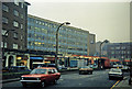
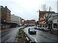
100 photos from this area
Area Information
Key information about the SW2 3HE including its size, population, and administrative classification.
- Area Type
- Postcode
- Area Size
- 5014 m²
- Population
- 1867
- Population Density
- 12692 people/km²
House Prices in SW2 3HE
20
Properties
£492,795
Average Sold Price
£85,000
Lowest Price
£900,000
Highest Price
Showing 20 properties
| Address | Type | Beds | Baths | Last Sale Price | Last Sale Date | |
|---|---|---|---|---|---|---|
| 77 Cricklade Avenue, London, SW2 3HE | Semi-detached | 3 | 1 | £825,000 | Jul 2022 | |
| 99 Cricklade Avenue, London, SW2 3HE | Terraced | 3 | 1 | £760,000 | Aug 2021 | |
| 67 Cricklade Avenue, London, SW2 3HE | Semi-detached | 3 | - | £900,000 | Jun 2021 | |
| 93 Cricklade Avenue, London, SW2 3HE | Semi-detached | 3 | - | £690,000 | Jun 2015 | |
| 87 Cricklade Avenue, London, SW2 3HE | Detached | 3 | 1 | £716,000 | Oct 2014 | |
| 95 Cricklade Avenue, London, SW2 3HE | Flat | 3 | 1 | £415,000 | Sep 2011 | |
| 85 Cricklade Avenue, London, SW2 3HE | Semi-detached | 3 | 1 | £329,950 | May 2005 | |
| 71 Cricklade Avenue, London, SW2 3HE | Semi-detached | - | - | £112,000 | Nov 1997 | |
| 89 Cricklade Avenue, London, SW2 3HE | Semi-detached | - | - | £85,000 | May 1997 | |
| 81 Cricklade Avenue, London, SW2 3HE | house | 3 | - | £95,000 | Jul 1995 |
Page 1 of 2
Energy Efficiency in SW2 3HE
Amenities
Schools
| Rank | School | Type | Entry gender | Ages |
|---|
Explore more schools in this area
Go to Schools tabDemographics
Household Size
Family (3-5 people)
most common
Accommodation Type
Flats
most common
Tenure
49
majority
Ethnic Group
White
most common
Religion
N/A
most common
Household Composition
N/A
most common
Age
47
median
Adults (30-64 years)
most common
Household Deprivation
N/A
with no deprivation
NS-SEC
44
in Lower managerial occupations
Explore more demographic insights in this area
Go to Demographics tabPlanning
Planning Constraints
- Flood RiskPremium
- Ramsar Wetland SitesPremium
- Area of Outstanding Natural BeautyPremium
- Protected Nature ReservePremium
- Protected WoodlandPremium