Area Overview for SW2 2RW
Photos of SW2 2RW
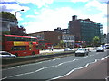
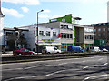
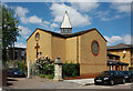
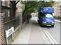
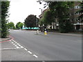
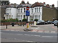
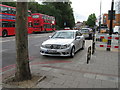
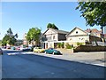
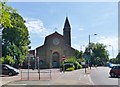
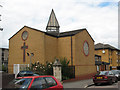
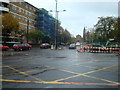
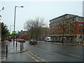
100 photos from this area
Area Information
Key information about the SW2 2RW including its size, population, and administrative classification.
- Area Type
- Postcode
- Area Size
- 6576 m²
- Population
- 2046
- Population Density
- 13057 people/km²
House Prices in SW2 2RW
18
Properties
£468,029
Average Sold Price
£83,323
Lowest Price
£950,000
Highest Price
Showing 18 properties
| Address | Type | Beds | Baths | Last Sale Price | Last Sale Date | |
|---|---|---|---|---|---|---|
| 60F Upper Tulse Hill, London, SW2 2RW | Maisonette | 2 | 1 | £385,000 | Sep 2025 | |
| 60D Upper Tulse Hill, London, SW2 2RW | Maisonette | - | - | £410,000 | Oct 2022 | |
| 62A Upper Tulse Hill, London, SW2 2RW | house | 3 | 1 | £745,000 | Jun 2022 | |
| 70 Upper Tulse Hill, London, SW2 2RW | Terraced | 6 | 2 | £750,000 | Feb 2017 | |
| 72 Upper Tulse Hill, London, SW2 2RW | Semi-detached | 2 | 1 | £950,000 | Oct 2015 | |
| 60A Upper Tulse Hill, London, SW2 2RW | Flat | 2 | 1 | £475,000 | Oct 2014 | |
| 60E Upper Tulse Hill, London, SW2 2RW | Flat | 2 | 1 | £370,000 | Aug 2014 | |
| 60B Upper Tulse Hill, London, SW2 2RW | Flat | - | - | £450,000 | Aug 2014 | |
| 74A Upper Tulse Hill, London, SW2 2RW | Terraced | - | - | £250,000 | Jun 2003 | |
| 62 Upper Tulse Hill, London, SW2 2RW | Flat | 3 | 1 | £280,000 | Dec 2002 |
Page 1 of 2
Energy Efficiency in SW2 2RW
Amenities
Schools
| Rank | School | Type | Entry gender | Ages |
|---|
Explore more schools in this area
Go to Schools tabDemographics
Household Size
Two person
most common
Accommodation Type
Flats
most common
Tenure
40
majority
Ethnic Group
White
most common
Religion
N/A
most common
Household Composition
N/A
most common
Age
47
median
Adults (30-64 years)
most common
Household Deprivation
N/A
with no deprivation
NS-SEC
42
in Lower managerial occupations
Explore more demographic insights in this area
Go to Demographics tabPlanning
Planning Constraints
- Flood RiskPremium
- Ramsar Wetland SitesPremium
- Area of Outstanding Natural BeautyPremium
- Protected Nature ReservePremium
- Protected WoodlandPremium