Area Overview for SW2 2RD
Photos of SW2 2RD
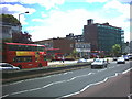
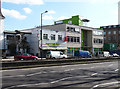
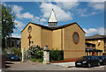
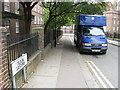
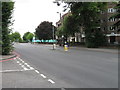
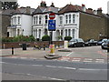
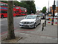
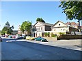
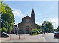
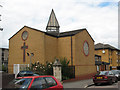
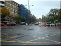
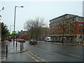
100 photos from this area
Area Information
Key information about the SW2 2RD including its size, population, and administrative classification.
- Area Type
- Postcode
- Area Size
- 1.5 hectares
- Population
- 1577
- Population Density
- 13001 people/km²
House Prices in SW2 2RD
48
Properties
£536,875
Average Sold Price
£110,000
Lowest Price
£880,000
Highest Price
Showing 48 properties
| Address | Type | Beds | Baths | Last Sale Price | Last Sale Date | |
|---|---|---|---|---|---|---|
| 99 Upper Tulse Hill, London, SW2 2RD | Retail | 3 | 1 | £880,000 | Sep 2022 | |
| 103 Upper Tulse Hill, London, SW2 2RD | Retail | 3 | 2 | £867,500 | Aug 2022 | |
| 97 Upper Tulse Hill, London, SW2 2RD | Terraced | - | - | £290,000 | Oct 2004 | |
| 115 Upper Tulse Hill, London, SW2 2RD | Flat | - | - | £110,000 | May 1995 | |
| Cedar Hall, 113 Upper Tulse Hill, London, SW2 2RD | Detached | 5 | 3 | - | - | |
| Flat 2, 111 Upper Tulse Hill, London, SW2 2RD | Flat | 2 | 1 | - | - | |
| 115A Upper Tulse Hill, London, SW2 2RD | Flat | 2 | 1 | - | - | |
| Flat B, 129 Upper Tulse Hill, London, SW2 2RD | Flat | 1 | 1 | - | - | |
| Flat A, 129 Upper Tulse Hill, London, SW2 2RD | Flat | 2 | 1 | - | - | |
| 111A Upper Tulse Hill, London, SW2 2RD | Flat | 1 | 1 | - | - |
Page 1 of 5
Energy Efficiency in SW2 2RD
Amenities
Schools
| Rank | School | Type | Entry gender | Ages |
|---|
Explore more schools in this area
Go to Schools tabDemographics
Household Size
Family (3-5 people)
most common
Accommodation Type
Flats
most common
Tenure
26
majority
Ethnic Group
black_total
most common
Religion
N/A
most common
Household Composition
N/A
most common
Age
47
median
Adults (30-64 years)
most common
Household Deprivation
N/A
with no deprivation
NS-SEC
30
in Lower managerial occupations
Explore more demographic insights in this area
Go to Demographics tabPlanning
Planning Constraints
- Flood RiskPremium
- Ramsar Wetland SitesPremium
- Area of Outstanding Natural BeautyPremium
- Protected Nature ReservePremium
- Protected WoodlandPremium