Area Overview for SW2 2NR
Photos of SW2 2NR
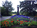

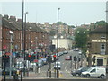
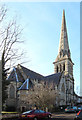
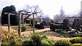
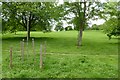
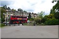
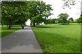
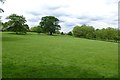
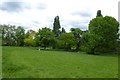
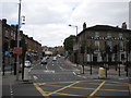
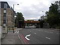
93 photos from this area
Area Information
Key information about the SW2 2NR including its size, population, and administrative classification.
- Area Type
- Postcode
- Area Size
- 2346 m²
- Population
- 1945
- Population Density
- 15956 people/km²
House Prices in SW2 2NR
7
Properties
£556,875
Average Sold Price
£297,500
Lowest Price
£780,000
Highest Price
Showing 7 properties
| Address | Type | Beds | Baths | Last Sale Price | Last Sale Date | |
|---|---|---|---|---|---|---|
| 213 Upper Tulse Hill, London, SW2 2NR | Terraced | 3 | 1 | £780,000 | Jan 2023 | |
| 223 Upper Tulse Hill, London, SW2 2NR | Terraced | 4 | 2 | £600,000 | Sep 2022 | |
| 221 Upper Tulse Hill, London, SW2 2NR | Terraced | 4 | 2 | £550,000 | Dec 2017 | |
| 219 Upper Tulse Hill, London, SW2 2NR | Terraced | 4 | 1 | £297,500 | May 2013 | |
| 225 Upper Tulse Hill, London, SW2 2NR | Flat | 2 | 1 | - | - | |
| 217 Upper Tulse Hill, London, SW2 2NR | Terraced | - | - | - | - | |
| 215 Upper Tulse Hill, London, SW2 2NR | house | 4 | 2 | - | - |
Energy Efficiency in SW2 2NR
Amenities
Schools
| Rank | School | Type | Entry gender | Ages |
|---|
Explore more schools in this area
Go to Schools tabDemographics
Household Size
Two person
most common
Accommodation Type
Flats
most common
Tenure
30
majority
Ethnic Group
black_total
most common
Religion
N/A
most common
Household Composition
N/A
most common
Age
47
median
Adults (30-64 years)
most common
Household Deprivation
N/A
with no deprivation
NS-SEC
42
in Lower managerial occupations
Explore more demographic insights in this area
Go to Demographics tabPlanning
Planning Constraints
- Flood RiskPremium
- Ramsar Wetland SitesPremium
- Area of Outstanding Natural BeautyPremium
- Protected Nature ReservePremium
- Protected WoodlandPremium