Area Overview for SW2 1DU
Photos of SW2 1DU
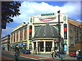
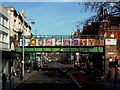
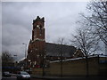
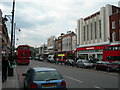
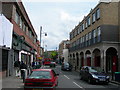
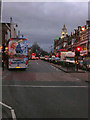
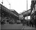
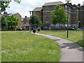
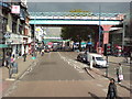
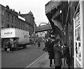
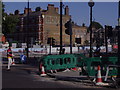
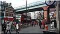
100 photos from this area
Area Information
Key information about the SW2 1DU including its size, population, and administrative classification.
- Area Type
- Postcode
- Area Size
- 4150 m²
- Population
- 1618
- Population Density
- 15648 people/km²
House Prices in SW2 1DU
32
Properties
£861,646
Average Sold Price
£292,000
Lowest Price
£1,395,140
Highest Price
Showing 32 properties
| Address | Type | Beds | Baths | Last Sale Price | Last Sale Date | |
|---|---|---|---|---|---|---|
| 58 Mervan Road, London, SW2 1DU | Terraced | 4 | - | £1,395,140 | Feb 2022 | |
| 62 Mervan Road, London, SW2 1DU | Terraced | 4 | - | £1,200,000 | Jan 2018 | |
| 54 Mervan Road, London, SW2 1DU | Terraced | 4 | 2 | £1,180,030 | Oct 2016 | |
| 46 Mervan Road, London, SW2 1DU | Terraced | 4 | 2 | £1,300,000 | Feb 2016 | |
| 44 Mervan Road, London, SW2 1DU | Terraced | 4 | - | £750,000 | May 2013 | |
| 66 Mervan Road, London, SW2 1DU | Terraced | 4 | 2 | £425,999 | May 2006 | |
| 52 Mervan Road, London, SW2 1DU | Terraced | - | - | £350,000 | Jun 2003 | |
| 68 Mervan Road, London, SW2 1DU | Terraced | 5 | - | £292,000 | Nov 2000 | |
| 36D Mervan Road, London, SW2 1DU | Flat | 2 | 2 | - | - | |
| First Floor Flat, 64 Mervan Road, London, SW2 1DU | Flat | 4 | 2 | - | - |
Page 1 of 4
Energy Efficiency in SW2 1DU
Amenities
Schools
| Rank | School | Type | Entry gender | Ages |
|---|
Explore more schools in this area
Go to Schools tabDemographics
Household Size
Family (3-5 people)
most common
Accommodation Type
Flats
most common
Tenure
41
majority
Ethnic Group
White
most common
Religion
N/A
most common
Household Composition
N/A
most common
Age
47
median
Adults (30-64 years)
most common
Household Deprivation
N/A
with no deprivation
NS-SEC
55
in Lower managerial occupations
Explore more demographic insights in this area
Go to Demographics tabPlanning
Planning Constraints
- Flood RiskPremium
- Ramsar Wetland SitesPremium
- Area of Outstanding Natural BeautyPremium
- Protected Nature ReservePremium
- Protected WoodlandPremium