Area Overview for SW19 8SE
Photos of SW19 8SE
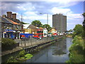

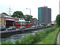
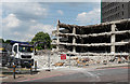
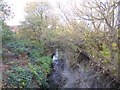
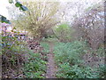
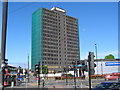

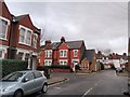
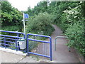
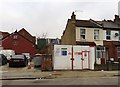

100 photos from this area
Area Information
Key information about the SW19 8SE including its size, population, and administrative classification.
- Area Type
- Postcode
- Area Size
- 4825 m²
- Population
- 1670
- Population Density
- 7874 people/km²
House Prices in SW19 8SE
35
Properties
£576,616
Average Sold Price
£58,000
Lowest Price
£1,005,000
Highest Price
Showing 35 properties
| Address | Type | Beds | Baths | Last Sale Price | Last Sale Date | |
|---|---|---|---|---|---|---|
| 14 Milton Road, Colliers Wood, London, SW19 8SE | Terraced | 3 | 2 | £915,000 | Oct 2025 | |
| 54 Milton Road, Colliers Wood, London, SW19 8SE | house | 3 | 1 | £700,000 | Mar 2025 | |
| 48A Milton Road, Colliers Wood, London, SW19 8SE | Flat | 2 | 2 | £545,000 | Nov 2024 | |
| 56 Milton Road, Colliers Wood, London, SW19 8SE | house | 4 | 2 | £1,005,000 | Jul 2024 | |
| 42 Milton Road, Colliers Wood, London, SW19 8SE | Terraced | 4 | 2 | £915,000 | Sep 2023 | |
| 38 Milton Road, Colliers Wood, London, SW19 8SE | house | 2 | 1 | £670,000 | Dec 2021 | |
| 16 Milton Road, Colliers Wood, London, SW19 8SE | Terraced | 4 | 3 | £820,000 | Mar 2021 | |
| 36 Milton Road, Colliers Wood, London, SW19 8SE | Terraced | 2 | 1 | £700,000 | Feb 2021 | |
| 26 Milton Road, Colliers Wood, London, SW19 8SE | Terraced | 2 | 1 | £725,000 | Jan 2021 | |
| 2 Milton Road, Colliers Wood, London, SW19 8SE | Terraced | 2 | - | £850,000 | Jan 2021 |
Page 1 of 4
Energy Efficiency in SW19 8SE
Amenities
Schools
| Rank | School | Type | Entry gender | Ages |
|---|
Explore more schools in this area
Go to Schools tabDemographics
Household Size
Two person
most common
Accommodation Type
Flats
most common
Tenure
48
majority
Ethnic Group
White
most common
Religion
N/A
most common
Household Composition
N/A
most common
Age
47
median
Adults (30-64 years)
most common
Household Deprivation
N/A
with no deprivation
NS-SEC
53
in Lower managerial occupations
Explore more demographic insights in this area
Go to Demographics tabPlanning
Planning Constraints
- Flood RiskPremium
- Ramsar Wetland SitesPremium
- Area of Outstanding Natural BeautyPremium
- Protected Nature ReservePremium
- Protected WoodlandPremium