Area Overview for SW18 5SY
Photos of SW18 5SY

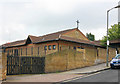

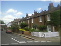
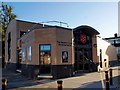
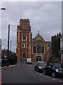

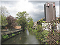
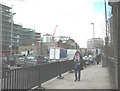
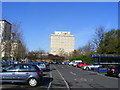
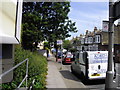
100 photos from this area
Area Information
Key information about the SW18 5SY including its size, population, and administrative classification.
- Area Type
- Postcode
- Area Size
- 7395 m²
- Population
- 2464
- Population Density
- 8097 people/km²
House Prices in SW18 5SY
25
Properties
£462,075
Average Sold Price
£210,000
Lowest Price
£845,900
Highest Price
Showing 25 properties
| Address | Type | Beds | Baths | Last Sale Price | Last Sale Date | |
|---|---|---|---|---|---|---|
| 79 Merton Road, London, SW18 5SY | house | - | - | £700,000 | Apr 2025 | |
| 83 Merton Road, London, SW18 5SY | Terraced | 3 | - | £845,900 | Jun 2021 | |
| 101 Merton Road, London, SW18 5SY | Terraced | 2 | 1 | £830,000 | Mar 2021 | |
| 107 Merton Road, London, SW18 5SY | Terraced | 3 | 1 | £572,500 | Feb 2017 | |
| 115 Merton Road, London, SW18 5SY | Flat | - | - | £380,000 | Nov 2013 | |
| 113 Merton Road, London, SW18 5SY | Maisonette | - | - | £220,000 | Mar 2013 | |
| 71 Merton Road, London, SW18 5SY | Terraced | 5 | - | £465,000 | Apr 2012 | |
| 95 Merton Road, London, SW18 5SY | house | 3 | - | £385,000 | Jun 2011 | |
| 97 Merton Road, London, SW18 5SY | house | 3 | 1 | £365,000 | Dec 2009 | |
| 75 Merton Road, London, SW18 5SY | Terraced | - | - | £346,500 | Oct 2009 |
Page 1 of 3
Energy Efficiency in SW18 5SY
Amenities
Schools
| Rank | School | Type | Entry gender | Ages |
|---|
Explore more schools in this area
Go to Schools tabDemographics
Household Size
One person
most common
Accommodation Type
Flats
most common
Tenure
49
majority
Ethnic Group
White
most common
Religion
N/A
most common
Household Composition
N/A
most common
Age
47
median
Adults (30-64 years)
most common
Household Deprivation
N/A
with no deprivation
NS-SEC
53
in Lower managerial occupations
Explore more demographic insights in this area
Go to Demographics tabPlanning
Planning Constraints
- Flood RiskPremium
- Ramsar Wetland SitesPremium
- Area of Outstanding Natural BeautyPremium
- Protected Nature ReservePremium
- Protected WoodlandPremium