Area Overview for SW18 5NT
Photos of SW18 5NT
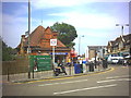
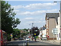
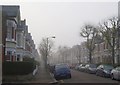
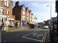
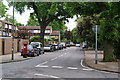
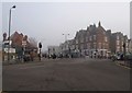

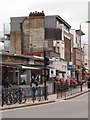

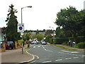
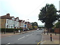

80 photos from this area
Area Information
Key information about the SW18 5NT including its size, population, and administrative classification.
- Area Type
- Postcode
- Area Size
- 8848 m²
- Population
- 1617
- Population Density
- 13715 people/km²
House Prices in SW18 5NT
26
Properties
£865,556
Average Sold Price
£170,000
Lowest Price
£1,525,000
Highest Price
Showing 26 properties
| Address | Type | Beds | Baths | Last Sale Price | Last Sale Date | |
|---|---|---|---|---|---|---|
| 88 Elsenham Street, London, SW18 5NT | Terraced | 4 | 2 | £1,525,000 | Sep 2023 | |
| 68 Elsenham Street, London, SW18 5NT | house | - | - | £1,305,000 | Sep 2023 | |
| 70 Elsenham Street, London, SW18 5NT | house | 5 | - | £1,457,000 | Oct 2022 | |
| 66 Elsenham Street, London, SW18 5NT | Terraced | 3 | 1 | £880,000 | Mar 2022 | |
| 94 Elsenham Street, London, SW18 5NT | house | - | - | £1,325,500 | Dec 2021 | |
| 96 Elsenham Street, London, SW18 5NT | Terraced | 5 | 2 | £1,200,000 | Mar 2021 | |
| 98 Elsenham Street, London, SW18 5NT | Terraced | 4 | 2 | £1,225,000 | Sep 2020 | |
| 84 Elsenham Street, London, SW18 5NT | Terraced | 3 | - | £1,200,000 | Jan 2018 | |
| 102 Elsenham Street, London, SW18 5NT | house | - | - | £901,000 | Oct 2015 | |
| 100 Elsenham Street, London, SW18 5NT | Terraced | 5 | - | £1,320,000 | Jul 2015 |
Page 1 of 3
Energy Efficiency in SW18 5NT
Amenities
Schools
| Rank | School | Type | Entry gender | Ages |
|---|
Explore more schools in this area
Go to Schools tabDemographics
Household Size
Family (3-5 people)
most common
Accommodation Type
Houses
most common
Tenure
64
majority
Ethnic Group
White
most common
Religion
N/A
most common
Household Composition
N/A
most common
Age
47
median
Adults (30-64 years)
most common
Household Deprivation
N/A
with no deprivation
NS-SEC
64
in Lower managerial occupations
Explore more demographic insights in this area
Go to Demographics tabPlanning
Planning Constraints
- Flood RiskPremium
- Ramsar Wetland SitesPremium
- Area of Outstanding Natural BeautyPremium
- Protected Nature ReservePremium
- Protected WoodlandPremium