Area Overview for SW18 5ND
Photos of SW18 5ND
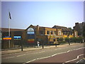
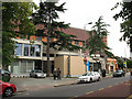
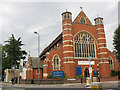

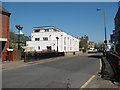
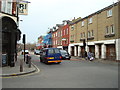
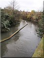
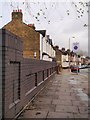
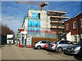
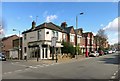

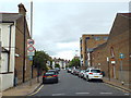
82 photos from this area
Area Information
Key information about the SW18 5ND including its size, population, and administrative classification.
- Area Type
- Postcode
- Area Size
- 1.1 hectares
- Population
- 1802
- Population Density
- 8012 people/km²
House Prices in SW18 5ND
30
Properties
£783,023
Average Sold Price
£195,000
Lowest Price
£1,255,000
Highest Price
Showing 30 properties
| Address | Type | Beds | Baths | Last Sale Price | Last Sale Date | |
|---|---|---|---|---|---|---|
| 43 Pirbright Road, London, SW18 5ND | Terraced | 3 | 2 | £1,255,000 | Nov 2023 | |
| 61 Pirbright Road, London, SW18 5ND | Retail | 3 | 1 | £954,383 | Sep 2022 | |
| 63 Pirbright Road, London, SW18 5ND | Flat | 2 | 2 | £900,000 | Mar 2021 | |
| 55 Pirbright Road, London, SW18 5ND | Terraced | 4 | 2 | £1,100,100 | Mar 2021 | |
| 71 Pirbright Road, London, SW18 5ND | Terraced | 3 | 2 | £1,175,000 | Feb 2020 | |
| 67 Pirbright Road, London, SW18 5ND | Terraced | 3 | 1 | £850,000 | Dec 2019 | |
| 85 Pirbright Road, London, SW18 5ND | Terraced | 4 | 3 | £1,200,000 | Aug 2019 | |
| 65 Pirbright Road, London, SW18 5ND | Terraced | 5 | 2 | £1,015,000 | May 2018 | |
| 41 Pirbright Road, London, SW18 5ND | Terraced | 4 | 2 | £780,000 | Dec 2015 | |
| 59 Pirbright Road, London, SW18 5ND | Terraced | 3 | 1 | £870,000 | Jul 2015 |
Page 1 of 3
Energy Efficiency in SW18 5ND
Amenities
Schools
| Rank | School | Type | Entry gender | Ages |
|---|
Explore more schools in this area
Go to Schools tabDemographics
Household Size
Two person
most common
Accommodation Type
Flats
most common
Tenure
54
majority
Ethnic Group
White
most common
Religion
N/A
most common
Household Composition
N/A
most common
Age
47
median
Adults (30-64 years)
most common
Household Deprivation
N/A
with no deprivation
NS-SEC
59
in Lower managerial occupations
Explore more demographic insights in this area
Go to Demographics tabPlanning
Planning Constraints
- Flood RiskPremium
- Ramsar Wetland SitesPremium
- Area of Outstanding Natural BeautyPremium
- Protected Nature ReservePremium
- Protected WoodlandPremium