Area Overview for SW18 5ET
Photos of SW18 5ET
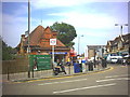
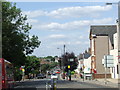
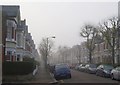
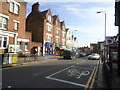
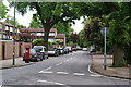
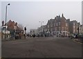

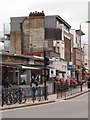

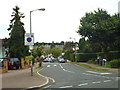
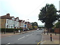

80 photos from this area
Area Information
Key information about the SW18 5ET including its size, population, and administrative classification.
- Area Type
- Postcode
- Area Size
- 3281 m²
- Population
- 1617
- Population Density
- 13715 people/km²
House Prices in SW18 5ET
18
Properties
£599,708
Average Sold Price
£148,500
Lowest Price
£1,185,000
Highest Price
Showing 18 properties
| Address | Type | Beds | Baths | Last Sale Price | Last Sale Date | |
|---|---|---|---|---|---|---|
| 57 Clonmore Street, London, SW18 5ET | house | - | - | £930,000 | Oct 2024 | |
| 61 Clonmore Street, London, SW18 5ET | Terraced | 4 | 2 | £1,185,000 | Jun 2021 | |
| 45 Clonmore Street, London, SW18 5ET | Semi-detached | 3 | 2 | £900,000 | May 2019 | |
| 47 Clonmore Street, London, SW18 5ET | Semi-detached | 3 | 1 | £940,000 | Mar 2017 | |
| 77 Clonmore Street, London, SW18 5ET | Terraced | - | - | £450,000 | Jun 2012 | |
| 79 Clonmore Street, London, SW18 5ET | house | 5 | 2 | £595,000 | Nov 2010 | |
| 51 Clonmore Street, London, SW18 5ET | house | 3 | - | £580,000 | Feb 2010 | |
| 55 Clonmore Street, London, SW18 5ET | Terraced | 3 | 1 | £485,000 | Nov 2008 | |
| 65 Clonmore Street, London, SW18 5ET | Terraced | - | - | £525,000 | Aug 2004 | |
| 49 Clonmore Street, London, SW18 5ET | Terraced | - | - | £193,000 | Oct 1998 |
Page 1 of 2
Energy Efficiency in SW18 5ET
Amenities
Schools
| Rank | School | Type | Entry gender | Ages |
|---|
Explore more schools in this area
Go to Schools tabDemographics
Household Size
Family (3-5 people)
most common
Accommodation Type
Houses
most common
Tenure
64
majority
Ethnic Group
White
most common
Religion
N/A
most common
Household Composition
N/A
most common
Age
47
median
Adults (30-64 years)
most common
Household Deprivation
N/A
with no deprivation
NS-SEC
64
in Lower managerial occupations
Explore more demographic insights in this area
Go to Demographics tabPlanning
Planning Constraints
- Flood RiskPremium
- Ramsar Wetland SitesPremium
- Area of Outstanding Natural BeautyPremium
- Protected Nature ReservePremium
- Protected WoodlandPremium