Area Overview for SW18 4PZ
Photos of SW18 4PZ
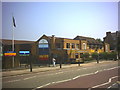
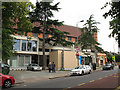


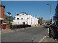
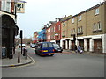
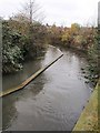
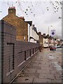
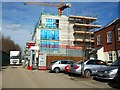
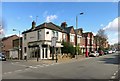
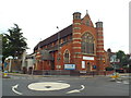
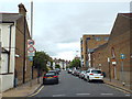
82 photos from this area
Area Information
Key information about the SW18 4PZ including its size, population, and administrative classification.
- Area Type
- Postcode
- Area Size
- 3736 m²
- Population
- 1930
- Population Density
- 10916 people/km²
House Prices in SW18 4PZ
29
Properties
£382,760
Average Sold Price
£52,500
Lowest Price
£595,000
Highest Price
Showing 29 properties
| Address | Type | Beds | Baths | Last Sale Price | Last Sale Date | |
|---|---|---|---|---|---|---|
| 141 Penwith Road, London, SW18 4PZ | Maisonette | 2 | 1 | £52,500 | Jul 2025 | |
| 155 Penwith Road, London, SW18 4PZ | Flat | 2 | 1 | £478,150 | Oct 2023 | |
| 159 Penwith Road, London, SW18 4PZ | Flat | 2 | 2 | £595,000 | Jun 2021 | |
| 133 Penwith Road, London, SW18 4PZ | Flat | 2 | 1 | £491,000 | Nov 2020 | |
| 139 Penwith Road, London, SW18 4PZ | Maisonette | 2 | 1 | £440,000 | Apr 2019 | |
| 151 Penwith Road, London, SW18 4PZ | Flat | 3 | 1 | £550,000 | Nov 2017 | |
| 163 Penwith Road, London, SW18 4PZ | Flat | 2 | 2 | £505,000 | Sep 2015 | |
| 161 Penwith Road, London, SW18 4PZ | Flat | 2 | 2 | £468,500 | Jun 2015 | |
| 169 Penwith Road, London, SW18 4PZ | Flat | - | - | £555,000 | Feb 2015 | |
| 157 Penwith Road, London, SW18 4PZ | Flat | - | - | £312,500 | Sep 2010 |
Page 1 of 3
Energy Efficiency in SW18 4PZ
Amenities
Schools
| Rank | School | Type | Entry gender | Ages |
|---|
Explore more schools in this area
Go to Schools tabDemographics
Household Size
Two person
most common
Accommodation Type
Flats
most common
Tenure
41
majority
Ethnic Group
White
most common
Religion
N/A
most common
Household Composition
N/A
most common
Age
47
median
Adults (30-64 years)
most common
Household Deprivation
N/A
with no deprivation
NS-SEC
69
in Lower managerial occupations
Explore more demographic insights in this area
Go to Demographics tabPlanning
Planning Constraints
- Flood RiskPremium
- Ramsar Wetland SitesPremium
- Area of Outstanding Natural BeautyPremium
- Protected Nature ReservePremium
- Protected WoodlandPremium