Area Overview for SW18 3TG
Photos of SW18 3TG
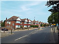
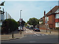
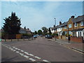
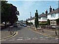
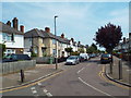
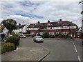
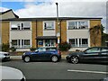
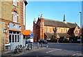
71 photos from this area
Area Information
Key information about the SW18 3TG including its size, population, and administrative classification.
- Area Type
- Postcode
- Area Size
- 4169 m²
- Population
- 1570
- Population Density
- 12372 people/km²
House Prices in SW18 3TG
24
Properties
£717,308
Average Sold Price
£140,500
Lowest Price
£1,137,500
Highest Price
Showing 24 properties
| Address | Type | Beds | Baths | Last Sale Price | Last Sale Date | |
|---|---|---|---|---|---|---|
| 5 Freshford Street, London, SW18 3TG | Terraced | 4 | 2 | £1,105,000 | Mar 2025 | |
| 21 Freshford Street, London, SW18 3TG | house | 3 | 3 | £1,137,500 | Feb 2021 | |
| 33 Freshford Street, London, SW18 3TG | Terraced | 4 | 2 | £1,100,000 | Jun 2019 | |
| The Studio House, 1E Freshford Street, London, SW18 3TG | Semi-detached | 4 | 2 | £540,000 | Sep 2017 | |
| 27 Freshford Street, London, SW18 3TG | Terraced | 3 | 1 | £840,000 | Jan 2017 | |
| 35 Freshford Street, London, SW18 3TG | house | 3 | - | £985,000 | Feb 2016 | |
| 11 Freshford Street, London, SW18 3TG | Terraced | 3 | - | £851,117 | Apr 2014 | |
| 1 Freshford Street, London, SW18 3TG | Terraced | 4 | 2 | £895,000 | Dec 2013 | |
| 15 Freshford Street, London, SW18 3TG | Terraced | 4 | 2 | £818,500 | Mar 2013 | |
| 23 Freshford Street, London, SW18 3TG | house | 3 | - | £530,000 | Dec 2011 |
Page 1 of 3
Energy Efficiency in SW18 3TG
Amenities
Schools
| Rank | School | Type | Entry gender | Ages |
|---|
Explore more schools in this area
Go to Schools tabDemographics
Household Size
Family (3-5 people)
most common
Accommodation Type
Houses
most common
Tenure
66
majority
Ethnic Group
White
most common
Religion
N/A
most common
Household Composition
N/A
most common
Age
47
median
Adults (30-64 years)
most common
Household Deprivation
N/A
with no deprivation
NS-SEC
66
in Lower managerial occupations
Explore more demographic insights in this area
Go to Demographics tabPlanning
Planning Constraints
- Flood RiskPremium
- Ramsar Wetland SitesPremium
- Area of Outstanding Natural BeautyPremium
- Protected Nature ReservePremium
- Protected WoodlandPremium