Area Overview for SW18 3PB
Photos of SW18 3PB
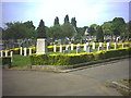
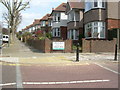
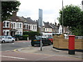
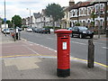
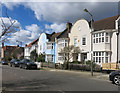
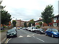
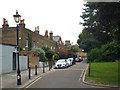
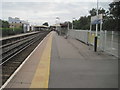
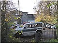
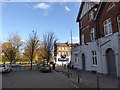
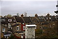
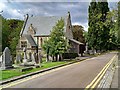
75 photos from this area
Area Information
Key information about the SW18 3PB including its size, population, and administrative classification.
- Area Type
- Postcode
- Area Size
- 6912 m²
- Population
- 1498
- Population Density
- 8970 people/km²
House Prices in SW18 3PB
30
Properties
£834,737
Average Sold Price
£90,000
Lowest Price
£1,340,000
Highest Price
Showing 30 properties
| Address | Type | Beds | Baths | Last Sale Price | Last Sale Date | |
|---|---|---|---|---|---|---|
| 215 Magdalen Road, London, SW18 3PB | Terraced | 4 | 2 | £1,340,000 | Mar 2025 | |
| 187 Magdalen Road, London, SW18 3PB | house | 4 | 2 | £1,310,000 | Aug 2024 | |
| 221 Magdalen Road, London, SW18 3PB | Terraced | 4 | 2 | £1,278,500 | Sep 2023 | |
| 219 Magdalen Road, London, SW18 3PB | house | 3 | 1 | £1,100,000 | Aug 2023 | |
| 229 Magdalen Road, London, SW18 3PB | house | - | - | £975,000 | May 2022 | |
| 191 Magdalen Road, London, SW18 3PB | Terraced | 4 | 2 | £1,250,000 | Aug 2021 | |
| 193 Magdalen Road, London, SW18 3PB | Terraced | 4 | 1 | £915,000 | Oct 2020 | |
| 211 Magdalen Road, London, SW18 3PB | Terraced | 4 | 2 | £945,000 | Jan 2020 | |
| 185 Magdalen Road, London, SW18 3PB | Terraced | 3 | 2 | £1,125,000 | Nov 2018 | |
| 239 Magdalen Road, London, SW18 3PB | house | - | - | £860,000 | Oct 2018 |
Page 1 of 3
Energy Efficiency in SW18 3PB
Amenities
Schools
| Rank | School | Type | Entry gender | Ages |
|---|
Explore more schools in this area
Go to Schools tabDemographics
Household Size
Family (3-5 people)
most common
Accommodation Type
Houses
most common
Tenure
69
majority
Ethnic Group
White
most common
Religion
N/A
most common
Household Composition
N/A
most common
Age
47
median
Adults (30-64 years)
most common
Household Deprivation
N/A
with no deprivation
NS-SEC
55
in Lower managerial occupations
Explore more demographic insights in this area
Go to Demographics tabPlanning
Planning Constraints
- Flood RiskPremium
- Ramsar Wetland SitesPremium
- Area of Outstanding Natural BeautyPremium
- Protected Nature ReservePremium
- Protected WoodlandPremium