Area Overview for SW18 1RR
Photos of SW18 1RR

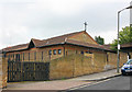

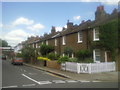
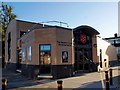
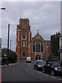

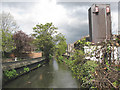
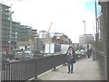
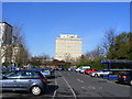
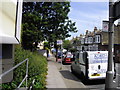
100 photos from this area
Area Information
Key information about the SW18 1RR including its size, population, and administrative classification.
- Area Type
- Postcode
- Area Size
- 6563 m²
- Population
- 1641
- Population Density
- 11540 people/km²
House Prices in SW18 1RR
39
Properties
£912,031
Average Sold Price
£85,000
Lowest Price
£1,680,000
Highest Price
Showing 39 properties
| Address | Type | Beds | Baths | Last Sale Price | Last Sale Date | |
|---|---|---|---|---|---|---|
| 26 Ringford Road, London, SW18 1RR | Terraced | 2 | 2 | £1,275,000 | Jun 2024 | |
| 74 Ringford Road, London, SW18 1RR | Terraced | 5 | 4 | £1,680,000 | Apr 2024 | |
| 30 Ringford Road, London, SW18 1RR | Terraced | 4 | 2 | £1,040,000 | Oct 2022 | |
| 76 Ringford Road, London, SW18 1RR | house | 5 | 2 | £1,450,000 | Dec 2020 | |
| 68 Ringford Road, London, SW18 1RR | Terraced | 5 | 2 | £1,275,000 | Feb 2020 | |
| 84 Ringford Road, London, SW18 1RR | Terraced | 4 | 2 | £1,260,000 | Feb 2019 | |
| 86 Ringford Road, London, SW18 1RR | Maisonette | 5 | - | £1,165,000 | Jul 2018 | |
| 88 Ringford Road, London, SW18 1RR | house | 5 | - | £960,000 | Jan 2014 | |
| 80 Ringford Road, London, SW18 1RR | house | 4 | - | £755,000 | Aug 2012 | |
| 62 Ringford Road, London, SW18 1RR | house | 4 | - | £775,000 | Aug 2011 |
Page 1 of 4
Energy Efficiency in SW18 1RR
Amenities
Schools
| Rank | School | Type | Entry gender | Ages |
|---|
Explore more schools in this area
Go to Schools tabDemographics
Household Size
Two person
most common
Accommodation Type
Houses
most common
Tenure
63
majority
Ethnic Group
White
most common
Religion
N/A
most common
Household Composition
N/A
most common
Age
47
median
Adults (30-64 years)
most common
Household Deprivation
N/A
with no deprivation
NS-SEC
64
in Lower managerial occupations
Explore more demographic insights in this area
Go to Demographics tabPlanning
Planning Constraints
- Flood RiskPremium
- Ramsar Wetland SitesPremium
- Area of Outstanding Natural BeautyPremium
- Protected Nature ReservePremium
- Protected WoodlandPremium