Area Overview for SW18 1JJ
Photos of SW18 1JJ
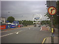
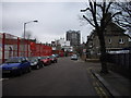
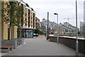
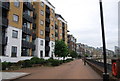
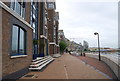
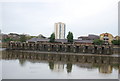
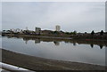

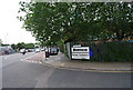
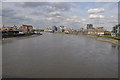
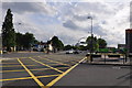
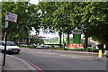
100 photos from this area
Area Information
Key information about the SW18 1JJ including its size, population, and administrative classification.
- Area Type
- Postcode
- Area Size
- 6281 m²
- Population
- 1684
- Population Density
- 16069 people/km²
House Prices in SW18 1JJ
30
Properties
£483,367
Average Sold Price
£132,500
Lowest Price
£874,000
Highest Price
Showing 30 properties
| Address | Type | Beds | Baths | Last Sale Price | Last Sale Date | |
|---|---|---|---|---|---|---|
| 16 Garrick Close, London, SW18 1JJ | Terraced | 4 | 3 | £874,000 | Aug 2024 | |
| 12 Garrick Close, London, SW18 1JJ | Terraced | 3 | 1 | £750,000 | Oct 2023 | |
| 40 Garrick Close, London, SW18 1JJ | Terraced | 3 | 1 | £700,000 | Aug 2023 | |
| 22 Garrick Close, London, SW18 1JJ | Terraced | 3 | 1 | £740,000 | Apr 2023 | |
| 18 Garrick Close, London, SW18 1JJ | house | - | - | £801,000 | Sep 2020 | |
| 50 Garrick Close, London, SW18 1JJ | house | - | - | £650,000 | Jul 2020 | |
| 60 Garrick Close, London, SW18 1JJ | Terraced | 3 | - | £700,000 | Oct 2016 | |
| 8 Garrick Close, London, SW18 1JJ | house | - | - | £390,000 | Oct 2007 | |
| 58 Garrick Close, London, SW18 1JJ | Terraced | - | - | £400,000 | Feb 2005 | |
| 36 Garrick Close, London, SW18 1JJ | Terraced | - | - | £249,999 | Oct 2002 |
Page 1 of 3
Energy Efficiency in SW18 1JJ
Amenities
Schools
| Rank | School | Type | Entry gender | Ages |
|---|
Explore more schools in this area
Go to Schools tabDemographics
Household Size
Two person
most common
Accommodation Type
Flats
most common
Tenure
36
majority
Ethnic Group
White
most common
Religion
N/A
most common
Household Composition
N/A
most common
Age
47
median
Adults (30-64 years)
most common
Household Deprivation
N/A
with no deprivation
NS-SEC
56
in Lower managerial occupations
Explore more demographic insights in this area
Go to Demographics tabPlanning
Planning Constraints
- Flood RiskPremium
- Ramsar Wetland SitesPremium
- Area of Outstanding Natural BeautyPremium
- Protected Nature ReservePremium
- Protected WoodlandPremium