Area Overview for SW18 1EZ
Photos of SW18 1EZ

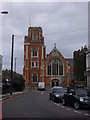
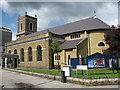
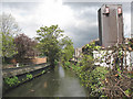
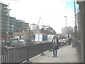
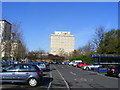
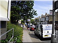
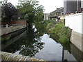
100 photos from this area
Area Information
Key information about the SW18 1EZ including its size, population, and administrative classification.
- Area Type
- Postcode
- Area Size
- 1904 m²
- Population
- 1591
- Population Density
- 9858 people/km²
House Prices in SW18 1EZ
5
Properties
£636,667
Average Sold Price
£320,000
Lowest Price
£850,000
Highest Price
Showing 5 properties
| Address | Type | Beds | Baths | Last Sale Price | Last Sale Date | |
|---|---|---|---|---|---|---|
| 16 Armoury Way, London, SW18 1EZ | Terraced | 3 | 2 | £850,000 | Feb 2021 | |
| 18 Armoury Way, London, SW18 1EZ | Terraced | 4 | 2 | £740,000 | Aug 2019 | |
| 20 Armoury Way, London, SW18 1EZ | Terraced | 2 | 2 | £320,000 | Jun 2011 | |
| Flat At The Crane, The Crane, 14 Armoury Way, London, SW18 1EZ | Flat | - | - | - | - | |
| Eagle House, 22 Armoury Way, London, SW18 1EZ | office_workshop | - | - | - | - |
Energy Efficiency in SW18 1EZ
Amenities
Schools
| Rank | School | Type | Entry gender | Ages |
|---|
Explore more schools in this area
Go to Schools tabDemographics
Household Size
Two person
most common
Accommodation Type
Flats
most common
Tenure
52
majority
Ethnic Group
White
most common
Religion
N/A
most common
Household Composition
N/A
most common
Age
47
median
Adults (30-64 years)
most common
Household Deprivation
N/A
with no deprivation
NS-SEC
68
in Lower managerial occupations
Explore more demographic insights in this area
Go to Demographics tabPlanning
Planning Constraints
- Flood RiskPremium
- Ramsar Wetland SitesPremium
- Area of Outstanding Natural BeautyPremium
- Protected Nature ReservePremium
- Protected WoodlandPremium