Area Overview for SW17 9TN
Photos of SW17 9TN
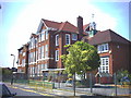
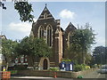
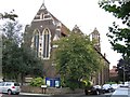
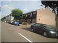
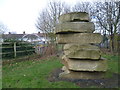
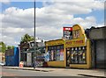
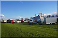
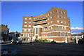
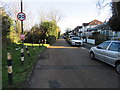
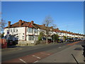
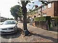
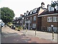
63 photos from this area
Area Information
Key information about the SW17 9TN including its size, population, and administrative classification.
- Area Type
- Postcode
- Area Size
- 1.1 hectares
- Population
- 1756
- Population Density
- 12931 people/km²
House Prices in SW17 9TN
45
Properties
£355,093
Average Sold Price
£83,500
Lowest Price
£660,000
Highest Price
Showing 45 properties
| Address | Type | Beds | Baths | Last Sale Price | Last Sale Date | |
|---|---|---|---|---|---|---|
| 129 Southcroft Road, London, SW17 9TN | Terraced | 3 | 1 | £535,000 | Jan 2025 | |
| 101 Southcroft Road, London, SW17 9TN | house | - | - | £660,000 | Feb 2023 | |
| 153 Southcroft Road, London, SW17 9TN | Retail | 3 | 1 | £550,000 | Dec 2022 | |
| 85 Southcroft Road, London, SW17 9TN | Terraced | 3 | 1 | £530,000 | Feb 2022 | |
| 115 Southcroft Road, London, SW17 9TN | Terraced | 3 | 1 | £620,000 | Mar 2021 | |
| 125 Southcroft Road, London, SW17 9TN | house | - | - | £435,000 | Jun 2018 | |
| 149 Southcroft Road, London, SW17 9TN | Terraced | 3 | - | £564,000 | Mar 2016 | |
| 137 Southcroft Road, London, SW17 9TN | house | - | - | £400,000 | Mar 2016 | |
| 91 Southcroft Road, London, SW17 9TN | Terraced | 3 | 1 | £513,000 | Mar 2016 | |
| 127 Southcroft Road, London, SW17 9TN | Terraced | 3 | - | £275,000 | Jan 2012 |
Page 1 of 5
Energy Efficiency in SW17 9TN
Amenities
Schools
| Rank | School | Type | Entry gender | Ages |
|---|
Explore more schools in this area
Go to Schools tabDemographics
Household Size
Family (3-5 people)
most common
Accommodation Type
Houses
most common
Tenure
56
majority
Ethnic Group
White
most common
Religion
N/A
most common
Household Composition
N/A
most common
Age
47
median
Adults (30-64 years)
most common
Household Deprivation
N/A
with no deprivation
NS-SEC
42
in Lower managerial occupations
Explore more demographic insights in this area
Go to Demographics tabPlanning
Planning Constraints
- Flood RiskPremium
- Ramsar Wetland SitesPremium
- Area of Outstanding Natural BeautyPremium
- Protected Nature ReservePremium
- Protected WoodlandPremium