Area Overview for SW17 8NZ
Photos of SW17 8NZ
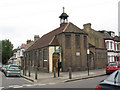
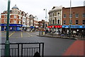
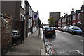
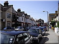
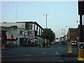
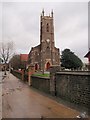
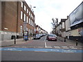
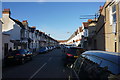
100 photos from this area
Area Information
Key information about the SW17 8NZ including its size, population, and administrative classification.
- Area Type
- Postcode
- Area Size
- 3748 m²
- Population
- 1694
- Population Density
- 16822 people/km²
House Prices in SW17 8NZ
30
Properties
£333,679
Average Sold Price
£65,500
Lowest Price
£575,000
Highest Price
Showing 30 properties
| Address | Type | Beds | Baths | Last Sale Price | Last Sale Date | |
|---|---|---|---|---|---|---|
| 32 Blakenham Road, London, SW17 8NZ | Terraced | 1 | 1 | £490,000 | Oct 2023 | |
| 34 Blakenham Road, London, SW17 8NZ | Semi-detached | 2 | 1 | £545,000 | Sep 2023 | |
| 67A Blakenham Road, London, SW17 8NZ | Terraced | 2 | 1 | £450,000 | Mar 2023 | |
| 77 Blakenham Road, London, SW17 8NZ | Flat | 2 | - | £575,000 | Mar 2023 | |
| 55 Blakenham Road, London, SW17 8NZ | Terraced | 2 | 1 | £540,000 | Mar 2021 | |
| 48 Blakenham Road, London, SW17 8NZ | Terraced | 2 | 1 | £463,000 | Mar 2021 | |
| 40 Blakenham Road, London, SW17 8NZ | Terraced | 2 | 1 | £315,000 | Jul 2013 | |
| 43 Blakenham Road, London, SW17 8NZ | house | - | - | £292,500 | Feb 2013 | |
| 65 Blakenham Road, London, SW17 8NZ | Flat | - | - | £250,000 | Mar 2012 | |
| 65A Blakenham Road, London, SW17 8NZ | Flat | 2 | 2 | £182,000 | Aug 2005 |
Page 1 of 3
Energy Efficiency in SW17 8NZ
Amenities
Schools
| Rank | School | Type | Entry gender | Ages |
|---|
Explore more schools in this area
Go to Schools tabDemographics
Household Size
Family (3-5 people)
most common
Accommodation Type
Houses
most common
Tenure
26
majority
Ethnic Group
White
most common
Religion
N/A
most common
Household Composition
N/A
most common
Age
47
median
Adults (30-64 years)
most common
Household Deprivation
N/A
with no deprivation
NS-SEC
37
in Lower managerial occupations
Explore more demographic insights in this area
Go to Demographics tabPlanning
Planning Constraints
- Flood RiskPremium
- Ramsar Wetland SitesPremium
- Area of Outstanding Natural BeautyPremium
- Protected Nature ReservePremium
- Protected WoodlandPremium