Area Overview for SW17 6DE
Photos of SW17 6DE
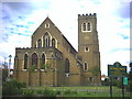
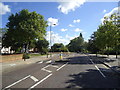
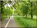
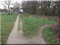
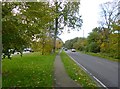
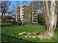
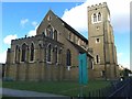
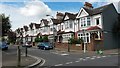
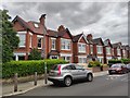
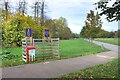
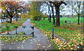
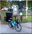
70 photos from this area
Area Information
Key information about the SW17 6DE including its size, population, and administrative classification.
- Area Type
- Postcode
- Area Size
- 1712 m²
- Population
- 1557
- Population Density
- 13139 people/km²
House Prices in SW17 6DE
15
Properties
£247,767
Average Sold Price
£86,000
Lowest Price
£410,000
Highest Price
Showing 15 properties
| Address | Type | Beds | Baths | Last Sale Price | Last Sale Date | |
|---|---|---|---|---|---|---|
| 101 Henry Doulton Drive, London, SW17 6DE | Flat | 2 | 1 | £410,000 | Jul 2025 | |
| 92 Henry Doulton Drive, London, SW17 6DE | Flat | - | - | £350,000 | May 2022 | |
| 91 Henry Doulton Drive, London, SW17 6DE | Flat | 1 | 1 | £342,500 | Mar 2022 | |
| 88 Henry Doulton Drive, London, SW17 6DE | Flat | - | - | £310,000 | Dec 2021 | |
| 97 Henry Doulton Drive, London, SW17 6DE | Flat | 2 | - | £390,000 | Dec 2019 | |
| 95 Henry Doulton Drive, London, SW17 6DE | Flat | - | - | £302,500 | Dec 2017 | |
| 99 Henry Doulton Drive, London, SW17 6DE | Flat | 2 | - | £398,000 | Dec 2015 | |
| 89 Henry Doulton Drive, London, SW17 6DE | Flat | 1 | 1 | £317,500 | Dec 2015 | |
| 94 Henry Doulton Drive, London, SW17 6DE | Flat | - | - | £210,000 | Aug 2009 | |
| 93 Henry Doulton Drive, London, SW17 6DE | Flat | - | - | £185,000 | Jun 2006 |
Page 1 of 2
Energy Efficiency in SW17 6DE
Amenities
Schools
| Rank | School | Type | Entry gender | Ages |
|---|
Explore more schools in this area
Go to Schools tabDemographics
Household Size
Family (3-5 people)
most common
Accommodation Type
Flats
most common
Tenure
46
majority
Ethnic Group
White
most common
Religion
N/A
most common
Household Composition
N/A
most common
Age
47
median
Adults (30-64 years)
most common
Household Deprivation
N/A
with no deprivation
NS-SEC
55
in Lower managerial occupations
Explore more demographic insights in this area
Go to Demographics tabPlanning
Planning Constraints
- Flood RiskPremium
- Ramsar Wetland SitesPremium
- Area of Outstanding Natural BeautyPremium
- Protected Nature ReservePremium
- Protected WoodlandPremium