Area Overview for SW17 0PJ
Photos of SW17 0PJ
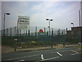
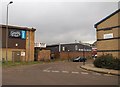
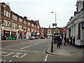
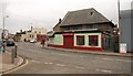
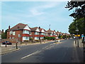
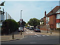
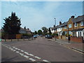
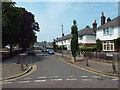
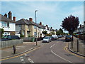
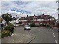
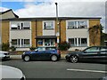
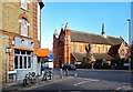
71 photos from this area
Area Information
Key information about the SW17 0PJ including its size, population, and administrative classification.
- Area Type
- Postcode
- Area Size
- 1925 m²
- Population
- 2509
- Population Density
- 14570 people/km²
House Prices in SW17 0PJ
20
Properties
£230,308
Average Sold Price
£45,000
Lowest Price
£373,000
Highest Price
Showing 20 properties
| Address | Type | Beds | Baths | Last Sale Price | Last Sale Date | |
|---|---|---|---|---|---|---|
| 101 Deeside Road, London, SW17 0PJ | Flat | 1 | - | £330,000 | Dec 2023 | |
| 113 Deeside Road, London, SW17 0PJ | Flat | - | - | £373,000 | Jul 2023 | |
| 111 Deeside Road, London, SW17 0PJ | Flat | 1 | 1 | £255,000 | Jun 2022 | |
| 109 Deeside Road, London, SW17 0PJ | Flat | 2 | 1 | £305,000 | Aug 2019 | |
| 99 Deeside Road, London, SW17 0PJ | Flat | 2 | 1 | £360,000 | Mar 2019 | |
| 87 Deeside Road, London, SW17 0PJ | Flat | - | - | £195,000 | Jan 2014 | |
| 107 Deeside Road, London, SW17 0PJ | Flat | - | - | £248,000 | Oct 2013 | |
| 105 Deeside Road, London, SW17 0PJ | Flat | - | - | £245,000 | Aug 2013 | |
| 91 Deeside Road, London, SW17 0PJ | Flat | - | - | £230,000 | Apr 2008 | |
| 81 Deeside Road, London, SW17 0PJ | Flat | 2 | - | £250,000 | Jan 2008 |
Page 1 of 2
Energy Efficiency in SW17 0PJ
Amenities
Schools
| Rank | School | Type | Entry gender | Ages |
|---|
Explore more schools in this area
Go to Schools tabDemographics
Household Size
One person
most common
Accommodation Type
Flats
most common
Tenure
30
majority
Ethnic Group
White
most common
Religion
N/A
most common
Household Composition
N/A
most common
Age
47
median
Adults (30-64 years)
most common
Household Deprivation
N/A
with no deprivation
NS-SEC
48
in Lower managerial occupations
Explore more demographic insights in this area
Go to Demographics tabPlanning
Planning Constraints
- Flood RiskPremium
- Ramsar Wetland SitesPremium
- Area of Outstanding Natural BeautyPremium
- Protected Nature ReservePremium
- Protected WoodlandPremium