Area Overview for SW17 0LW
Photos of SW17 0LW
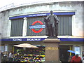
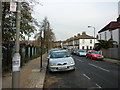
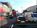
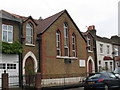
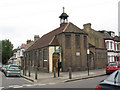
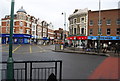
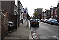
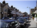
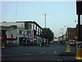
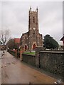
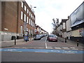
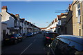
100 photos from this area
Area Information
Key information about the SW17 0LW including its size, population, and administrative classification.
- Area Type
- Postcode
- Area Size
- 2245 m²
- Population
- 1971
- Population Density
- 13861 people/km²
House Prices in SW17 0LW
10
Properties
£494,417
Average Sold Price
£235,000
Lowest Price
£696,000
Highest Price
Showing 10 properties
| Address | Type | Beds | Baths | Last Sale Price | Last Sale Date | |
|---|---|---|---|---|---|---|
| 985 Garratt Lane, London, SW17 0LW | Terraced | 2 | 1 | £696,000 | Mar 2024 | |
| 977 Garratt Lane, London, SW17 0LW | Terraced | 1 | 1 | £552,250 | Feb 2018 | |
| 983 Garratt Lane, London, SW17 0LW | Terraced | 2 | 1 | £235,000 | Aug 2003 | |
| 987 Garratt Lane, London, SW17 0LW | Terraced | 3 | 3 | - | - | |
| 975 Garratt Lane, London, SW17 0LW | house | 2 | 1 | - | - | |
| 989 Garratt Lane, London, SW17 0LW | house | - | - | - | - | |
| 979 Garratt Lane, London, SW17 0LW | house | - | - | - | - | |
| 981 Garratt Lane, London, SW17 0LW | house | - | - | - | - | |
| Flat First Floor, 969 Garratt Lane, London, SW17 0LW | Flat | 2 | 1 | - | - | |
| 991 Garratt Lane, London, SW17 0LW | Terraced | - | - | - | - |
Energy Efficiency in SW17 0LW
Amenities
Schools
| Rank | School | Type | Entry gender | Ages |
|---|
Explore more schools in this area
Go to Schools tabDemographics
Household Size
Family (3-5 people)
most common
Accommodation Type
Flats
most common
Tenure
41
majority
Ethnic Group
White
most common
Religion
N/A
most common
Household Composition
N/A
most common
Age
47
median
Adults (30-64 years)
most common
Household Deprivation
N/A
with no deprivation
NS-SEC
45
in Lower managerial occupations
Explore more demographic insights in this area
Go to Demographics tabPlanning
Planning Constraints
- Flood RiskPremium
- Ramsar Wetland SitesPremium
- Area of Outstanding Natural BeautyPremium
- Protected Nature ReservePremium
- Protected WoodlandPremium