Area Overview for SW17 0JZ
Photos of SW17 0JZ
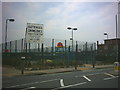
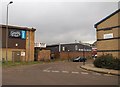
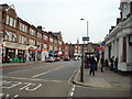
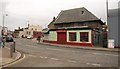
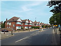
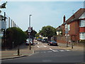
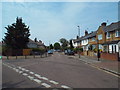
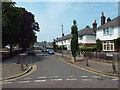
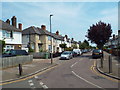
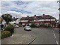
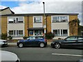
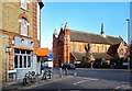
71 photos from this area
Area Information
Key information about the SW17 0JZ including its size, population, and administrative classification.
- Area Type
- Postcode
- Area Size
- 6366 m²
- Population
- 1570
- Population Density
- 12372 people/km²
House Prices in SW17 0JZ
34
Properties
£740,261
Average Sold Price
£144,000
Lowest Price
£1,415,000
Highest Price
Showing 34 properties
| Address | Type | Beds | Baths | Last Sale Price | Last Sale Date | |
|---|---|---|---|---|---|---|
| 6 Burntwood Lane, London, SW17 0JZ | Terraced | 3 | 2 | £1,000,000 | Mar 2025 | |
| 4 Burntwood Lane, London, SW17 0JZ | house | - | - | £900,000 | Aug 2023 | |
| 50 Burntwood Lane, London, SW17 0JZ | Terraced | 3 | 1 | £920,000 | Aug 2022 | |
| 10 Burntwood Lane, London, SW17 0JZ | Terraced | 4 | 3 | £888,000 | May 2022 | |
| 46 Burntwood Lane, London, SW17 0JZ | Retail | 4 | 1 | £1,010,000 | Jan 2022 | |
| 22 Burntwood Lane, London, SW17 0JZ | Terraced | 3 | 2 | £765,000 | Nov 2019 | |
| 16 Burntwood Lane, London, SW17 0JZ | Terraced | 3 | 2 | £979,500 | Dec 2016 | |
| 58 Burntwood Lane, London, SW17 0JZ | Semi-detached | 6 | 3 | £1,415,000 | Jul 2016 | |
| 44 Burntwood Lane, London, SW17 0JZ | Terraced | 4 | - | £1,250,000 | Sep 2014 | |
| 20 Burntwood Lane, London, SW17 0JZ | Terraced | 4 | - | £645,000 | May 2013 |
Page 1 of 4
Energy Efficiency in SW17 0JZ
Amenities
Schools
| Rank | School | Type | Entry gender | Ages |
|---|
Explore more schools in this area
Go to Schools tabDemographics
Household Size
Family (3-5 people)
most common
Accommodation Type
Houses
most common
Tenure
66
majority
Ethnic Group
White
most common
Religion
N/A
most common
Household Composition
N/A
most common
Age
47
median
Adults (30-64 years)
most common
Household Deprivation
N/A
with no deprivation
NS-SEC
66
in Lower managerial occupations
Explore more demographic insights in this area
Go to Demographics tabPlanning
Planning Constraints
- Flood RiskPremium
- Ramsar Wetland SitesPremium
- Area of Outstanding Natural BeautyPremium
- Protected Nature ReservePremium
- Protected WoodlandPremium