Area Overview for SW17 0ES
Photos of SW17 0ES
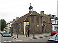
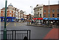
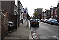
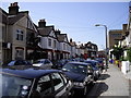
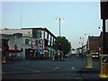
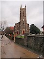
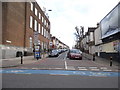
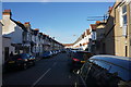
100 photos from this area
Area Information
Key information about the SW17 0ES including its size, population, and administrative classification.
- Area Type
- Postcode
- Area Size
- 6175 m²
- Population
- 1694
- Population Density
- 16822 people/km²
House Prices in SW17 0ES
41
Properties
£391,571
Average Sold Price
£45,000
Lowest Price
£970,000
Highest Price
Showing 41 properties
| Address | Type | Beds | Baths | Last Sale Price | Last Sale Date | |
|---|---|---|---|---|---|---|
| 28 Selkirk Road, London, SW17 0ES | Terraced | 3 | 1 | £710,000 | Mar 2025 | |
| 58 SELKIRK ROAD, London, SW17 0ES | Flat | 1 | 1 | £970,000 | Jul 2022 | |
| 30 Selkirk Road, London, SW17 0ES | Terraced | 4 | - | £853,000 | Oct 2021 | |
| 26 Selkirk Road, London, SW17 0ES | Terraced | 4 | 2 | £755,000 | Aug 2014 | |
| 58C Selkirk Road, London, SW17 0ES | house | 3 | - | £345,000 | Sep 2011 | |
| 38 Selkirk Road, London, SW17 0ES | Terraced | 3 | 2 | £395,000 | Jan 2011 | |
| 46 Selkirk Road, London, SW17 0ES | Terraced | - | - | £263,000 | Jul 2004 | |
| 36 Selkirk Road, London, SW17 0ES | Flat | - | - | £265,000 | Jun 2003 | |
| 32 Selkirk Road, London, SW17 0ES | Terraced | - | - | £235,000 | Nov 2002 | |
| 56 Selkirk Road, London, SW17 0ES | Terraced | - | - | £185,000 | Sep 2000 |
Page 1 of 5
Energy Efficiency in SW17 0ES
Amenities
Schools
| Rank | School | Type | Entry gender | Ages |
|---|
Explore more schools in this area
Go to Schools tabDemographics
Household Size
Family (3-5 people)
most common
Accommodation Type
Houses
most common
Tenure
26
majority
Ethnic Group
White
most common
Religion
N/A
most common
Household Composition
N/A
most common
Age
47
median
Adults (30-64 years)
most common
Household Deprivation
N/A
with no deprivation
NS-SEC
37
in Lower managerial occupations
Explore more demographic insights in this area
Go to Demographics tabPlanning
Planning Constraints
- Flood RiskPremium
- Ramsar Wetland SitesPremium
- Area of Outstanding Natural BeautyPremium
- Protected Nature ReservePremium
- Protected WoodlandPremium