Area Overview for SW17 0BT
Photos of SW17 0BT
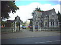
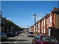
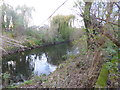
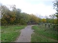
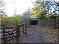
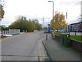
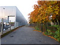
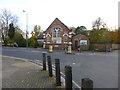
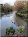
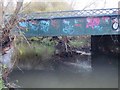
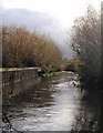
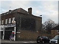
97 photos from this area
Area Information
Key information about the SW17 0BT including its size, population, and administrative classification.
- Area Type
- Postcode
- Area Size
- 5914 m²
- Population
- 1644
- Population Density
- 9246 people/km²
House Prices in SW17 0BT
32
Properties
£501,864
Average Sold Price
£59,000
Lowest Price
£895,000
Highest Price
Showing 32 properties
| Address | Type | Beds | Baths | Last Sale Price | Last Sale Date | |
|---|---|---|---|---|---|---|
| 25 Worslade Road, London, SW17 0BT | house | 2 | 1 | £585,000 | May 2025 | |
| 2 Worslade Road, London, SW17 0BT | Detached | 2 | 1 | £820,000 | May 2025 | |
| 13 Worslade Road, London, SW17 0BT | Terraced | 2 | 1 | £700,000 | Mar 2025 | |
| 20 Worslade Road, London, SW17 0BT | house | - | - | £632,500 | Mar 2023 | |
| 21 Worslade Road, London, SW17 0BT | house | 2 | 1 | £670,000 | Feb 2023 | |
| 7 Worslade Road, London, SW17 0BT | house | - | - | £895,000 | Sep 2022 | |
| 32 Worslade Road, London, SW17 0BT | Terraced | 3 | 3 | £765,000 | Feb 2022 | |
| 31 Worslade Road, London, SW17 0BT | house | - | - | £730,000 | Dec 2021 | |
| 29 Worslade Road, London, SW17 0BT | Terraced | 3 | 2 | £600,000 | May 2019 | |
| 27 Worslade Road, London, SW17 0BT | Terraced | 3 | 2 | £635,000 | Oct 2018 |
Page 1 of 4
Energy Efficiency in SW17 0BT
Amenities
Schools
| Rank | School | Type | Entry gender | Ages |
|---|
Explore more schools in this area
Go to Schools tabDemographics
Household Size
One person
most common
Accommodation Type
Flats
most common
Tenure
28
majority
Ethnic Group
White
most common
Religion
N/A
most common
Household Composition
N/A
most common
Age
47
median
Adults (30-64 years)
most common
Household Deprivation
N/A
with no deprivation
NS-SEC
33
in Lower managerial occupations
Explore more demographic insights in this area
Go to Demographics tabPlanning
Planning Constraints
- Flood RiskPremium
- Ramsar Wetland SitesPremium
- Area of Outstanding Natural BeautyPremium
- Protected Nature ReservePremium
- Protected WoodlandPremium