Area Overview for SW16 6TB
Photos of SW16 6TB
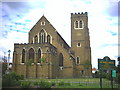
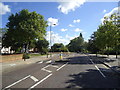
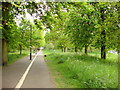
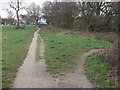
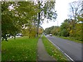
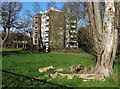
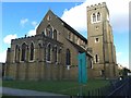
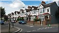
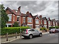
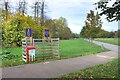
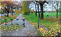
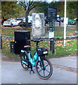
70 photos from this area
Area Information
Key information about the SW16 6TB including its size, population, and administrative classification.
- Area Type
- Postcode
- Area Size
- 5956 m²
- Population
- 1637
- Population Density
- 5439 people/km²
House Prices in SW16 6TB
31
Properties
£824,939
Average Sold Price
£145,000
Lowest Price
£1,245,575
Highest Price
Showing 31 properties
| Address | Type | Beds | Baths | Last Sale Price | Last Sale Date | |
|---|---|---|---|---|---|---|
| 35 Parklands Road, London, SW16 6TB | Terraced | 4 | 2 | £1,245,575 | Sep 2023 | |
| 23 Parklands Road, London, SW16 6TB | house | - | - | £1,049,000 | Nov 2022 | |
| 19 Parklands Road, London, SW16 6TB | house | - | - | £910,000 | Sep 2021 | |
| 25 Parklands Road, London, SW16 6TB | house | - | - | £1,001,500 | Jun 2021 | |
| 3 Parklands Road, London, SW16 6TB | house | 6 | - | £1,100,000 | May 2021 | |
| 57 Parklands Road, London, SW16 6TB | Terraced | 4 | 3 | £1,200,000 | May 2021 | |
| 27 Parklands Road, London, SW16 6TB | house | 6 | - | £1,150,000 | Apr 2020 | |
| 21 Parklands Road, London, SW16 6TB | house | - | - | £981,250 | Jan 2020 | |
| 5 Parklands Road, London, SW16 6TB | house | - | - | £1,050,000 | Feb 2018 | |
| 11 Parklands Road, London, SW16 6TB | Terraced | 4 | - | £1,082,800 | Jan 2017 |
Page 1 of 4
Energy Efficiency in SW16 6TB
Amenities
Schools
| Rank | School | Type | Entry gender | Ages |
|---|
Explore more schools in this area
Go to Schools tabDemographics
Household Size
One person
most common
Accommodation Type
Flats
most common
Tenure
49
majority
Ethnic Group
White
most common
Religion
N/A
most common
Household Composition
N/A
most common
Age
47
median
Adults (30-64 years)
most common
Household Deprivation
N/A
with no deprivation
NS-SEC
46
in Lower managerial occupations
Explore more demographic insights in this area
Go to Demographics tabPlanning
Planning Constraints
- Flood RiskPremium
- Ramsar Wetland SitesPremium
- Area of Outstanding Natural BeautyPremium
- Protected Nature ReservePremium
- Protected WoodlandPremium