Area Overview for SW16 6SQ
Photos of SW16 6SQ
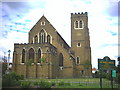
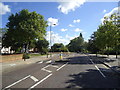
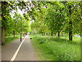
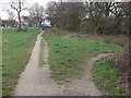
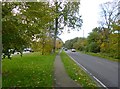
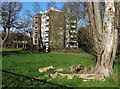
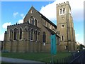
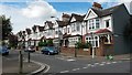
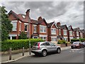
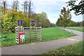

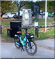
70 photos from this area
Area Information
Key information about the SW16 6SQ including its size, population, and administrative classification.
- Area Type
- Postcode
- Area Size
- 4178 m²
- Population
- 1734
- Population Density
- 13718 people/km²
House Prices in SW16 6SQ
22
Properties
£331,667
Average Sold Price
£75,000
Lowest Price
£745,000
Highest Price
Showing 22 properties
| Address | Type | Beds | Baths | Last Sale Price | Last Sale Date | |
|---|---|---|---|---|---|---|
| 94 Moyser Road, London, SW16 6SQ | house | - | - | £745,000 | Dec 2015 | |
| 64A Moyser Road, London, SW16 6SQ | Semi-detached | 3 | 2 | £175,000 | Mar 2004 | |
| 76A Moyser Road, London, SW16 6SQ | Flat | 1 | 1 | £75,000 | Sep 1998 | |
| Flat Ground And First Floors A, 74 Moyser Road, London, SW16 6SQ | Flat | - | - | - | - | |
| Maisonette First And Second Floors Front A, 58 Moyser Road, London, SW16 6SQ | Flat | 2 | 1 | - | - | |
| Flat First Floor A, 70 Moyser Road, London, SW16 6SQ | Maisonette | 2 | 1 | - | - | |
| Flat First Floor A, 78 Moyser Road, London, SW16 6SQ | Flat | 4 | 1 | - | - | |
| 88 Moyser Road, London, SW16 6SQ | Terraced | - | - | - | - | |
| 90 Moyser Road, London, SW16 6SQ | house | - | - | - | - | |
| 84A Moyser Road, London, SW16 6SQ | Semi-detached | 2 | 1 | - | - |
Page 1 of 3
Energy Efficiency in SW16 6SQ
Amenities
Schools
| Rank | School | Type | Entry gender | Ages |
|---|
Explore more schools in this area
Go to Schools tabDemographics
Household Size
Family (3-5 people)
most common
Accommodation Type
Houses
most common
Tenure
65
majority
Ethnic Group
White
most common
Religion
N/A
most common
Household Composition
N/A
most common
Age
47
median
Adults (30-64 years)
most common
Household Deprivation
N/A
with no deprivation
NS-SEC
47
in Lower managerial occupations
Explore more demographic insights in this area
Go to Demographics tabPlanning
Planning Constraints
- Flood RiskPremium
- Ramsar Wetland SitesPremium
- Area of Outstanding Natural BeautyPremium
- Protected Nature ReservePremium
- Protected WoodlandPremium