Area Overview for SW16 6QS
Photos of SW16 6QS
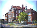
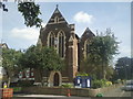
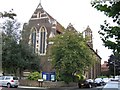
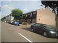
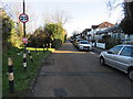
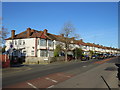
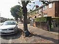
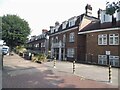
63 photos from this area
Area Information
Key information about the SW16 6QS including its size, population, and administrative classification.
- Area Type
- Postcode
- Area Size
- 2272 m²
- Population
- 1402
- Population Density
- 12329 people/km²
House Prices in SW16 6QS
10
Properties
£402,850
Average Sold Price
£194,000
Lowest Price
£915,600
Highest Price
Showing 10 properties
| Address | Type | Beds | Baths | Last Sale Price | Last Sale Date | |
|---|---|---|---|---|---|---|
| 209 Ribblesdale Road, London, SW16 6QS | Terraced | 4 | 2 | £915,600 | Oct 2024 | |
| 221 Ribblesdale Road, London, SW16 6QS | Terraced | 4 | - | £462,500 | Jun 2013 | |
| 223 Ribblesdale Road, London, SW16 6QS | house | - | - | £270,000 | Apr 2005 | |
| 207 Ribblesdale Road, London, SW16 6QS | Terraced | - | - | £280,000 | Feb 2003 | |
| 219 Ribblesdale Road, London, SW16 6QS | Terraced | - | - | £295,000 | Oct 2002 | |
| 213 Ribblesdale Road, London, SW16 6QS | Terraced | - | - | £194,000 | Jun 1999 | |
| 211 Ribblesdale Road, London, SW16 6QS | Terraced | - | - | - | - | |
| 217 Ribblesdale Road, London, SW16 6QS | Terraced | - | - | - | - | |
| 225 Ribblesdale Road, London, SW16 6QS | Terraced | - | - | - | - | |
| 215 Ribblesdale Road, London, SW16 6QS | Terraced | - | - | - | - |
Energy Efficiency in SW16 6QS
Amenities
Schools
| Rank | School | Type | Entry gender | Ages |
|---|
Explore more schools in this area
Go to Schools tabDemographics
Household Size
Family (3-5 people)
most common
Accommodation Type
Houses
most common
Tenure
63
majority
Ethnic Group
White
most common
Religion
N/A
most common
Household Composition
N/A
most common
Age
47
median
Adults (30-64 years)
most common
Household Deprivation
N/A
with no deprivation
NS-SEC
37
in Lower managerial occupations
Explore more demographic insights in this area
Go to Demographics tabPlanning
Planning Constraints
- Flood RiskPremium
- Ramsar Wetland SitesPremium
- Area of Outstanding Natural BeautyPremium
- Protected Nature ReservePremium
- Protected WoodlandPremium