Area Overview for SW16 6DF
Photos of SW16 6DF
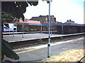
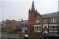
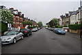
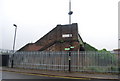
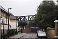
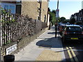
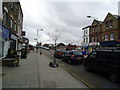
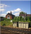
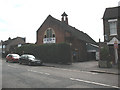
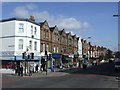
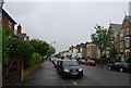
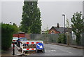
98 photos from this area
Area Information
Key information about the SW16 6DF including its size, population, and administrative classification.
- Area Type
- Postcode
- Area Size
- 3780 m²
- Population
- 2036
- Population Density
- 16757 people/km²
House Prices in SW16 6DF
45
Properties
£189,776
Average Sold Price
£35,000
Lowest Price
£590,000
Highest Price
Showing 45 properties
| Address | Type | Beds | Baths | Last Sale Price | Last Sale Date | |
|---|---|---|---|---|---|---|
| 105 Leverson Street, London, SW16 6DF | Flat | 2 | 1 | £420,000 | Mar 2025 | |
| 135 Leverson Street, London, SW16 6DF | Flat | 2 | 1 | £280,000 | Sep 2024 | |
| 93A Leverson Street, London, SW16 6DF | Maisonette | 2 | 1 | £400,000 | Feb 2019 | |
| 97A Leverson Street, London, SW16 6DF | Maisonette | 2 | 1 | £430,000 | Feb 2019 | |
| 101 Leverson Street, London, SW16 6DF | Maisonette | 1 | 1 | £400,000 | Nov 2018 | |
| 113 Leverson Street, London, SW16 6DF | Maisonette | 2 | 1 | £35,000 | May 2018 | |
| 99A Leverson Street, London, SW16 6DF | Maisonette | 4 | 2 | £590,000 | Apr 2018 | |
| 103 Leverson Street, London, SW16 6DF | Flat | 1 | 1 | £172,000 | May 2012 | |
| 95 Leverson Street, London, SW16 6DF | Maisonette | 2 | 1 | £130,000 | Aug 2009 | |
| 121 Leverson Street, London, SW16 6DF | Flat | - | - | £171,000 | Jun 2005 |
Page 1 of 5
Energy Efficiency in SW16 6DF
Amenities
Schools
| Rank | School | Type | Entry gender | Ages |
|---|
Explore more schools in this area
Go to Schools tabDemographics
Household Size
Family (3-5 people)
most common
Accommodation Type
Houses
most common
Tenure
55
majority
Ethnic Group
White
most common
Religion
N/A
most common
Household Composition
N/A
most common
Age
47
median
Adults (30-64 years)
most common
Household Deprivation
N/A
with no deprivation
NS-SEC
46
in Lower managerial occupations
Explore more demographic insights in this area
Go to Demographics tabPlanning
Planning Constraints
- Flood RiskPremium
- Ramsar Wetland SitesPremium
- Area of Outstanding Natural BeautyPremium
- Protected Nature ReservePremium
- Protected WoodlandPremium