Area Overview for SW16 5TG
Photos of SW16 5TG
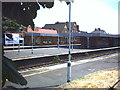
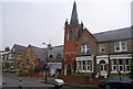
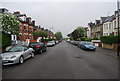
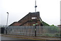
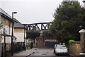
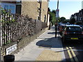
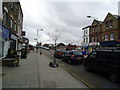
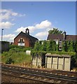
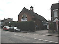
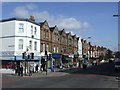
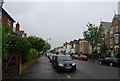
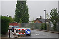
98 photos from this area
Area Information
Key information about the SW16 5TG including its size, population, and administrative classification.
- Area Type
- Postcode
- Area Size
- 6431 m²
- Population
- 1649
- Population Density
- 13461 people/km²
House Prices in SW16 5TG
41
Properties
£359,303
Average Sold Price
£60,250
Lowest Price
£675,000
Highest Price
Showing 41 properties
| Address | Type | Beds | Baths | Last Sale Price | Last Sale Date | |
|---|---|---|---|---|---|---|
| 122 Eardley Road, London, SW16 5TG | Terraced | 3 | 1 | £635,000 | Oct 2024 | |
| 136 Eardley Road, London, SW16 5TG | Terraced | 3 | 1 | £635,000 | Feb 2023 | |
| 146 Eardley Road, London, SW16 5TG | Terraced | 3 | 1 | £467,000 | Nov 2022 | |
| 134 Eardley Road, London, SW16 5TG | Terraced | 2 | 1 | £595,000 | Feb 2022 | |
| 116 Eardley Road, London, SW16 5TG | house | - | - | £675,000 | Dec 2021 | |
| 150 Eardley Road, London, SW16 5TG | Terraced | 3 | 1 | £60,250 | Nov 2021 | |
| 170 Eardley Road, London, SW16 5TG | Terraced | 3 | 1 | £530,000 | Jan 2021 | |
| 118 Eardley Road, London, SW16 5TG | Terraced | 3 | 1 | £465,000 | Jan 2020 | |
| 132 Eardley Road, London, SW16 5TG | Terraced | 1 | 4 | £380,000 | Dec 2017 | |
| 168 Eardley Road, London, SW16 5TG | Terraced | 4 | 2 | £557,500 | Jul 2015 |
Page 1 of 5
Energy Efficiency in SW16 5TG
Amenities
Schools
| Rank | School | Type | Entry gender | Ages |
|---|
Explore more schools in this area
Go to Schools tabDemographics
Household Size
Family (3-5 people)
most common
Accommodation Type
Houses
most common
Tenure
45
majority
Ethnic Group
White
most common
Religion
N/A
most common
Household Composition
N/A
most common
Age
47
median
Adults (30-64 years)
most common
Household Deprivation
N/A
with no deprivation
NS-SEC
35
in Lower managerial occupations
Explore more demographic insights in this area
Go to Demographics tabPlanning
Planning Constraints
- Flood RiskPremium
- Ramsar Wetland SitesPremium
- Area of Outstanding Natural BeautyPremium
- Protected Nature ReservePremium
- Protected WoodlandPremium