Area Overview for SW16 5JL
Photos of SW16 5JL
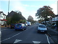
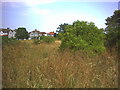
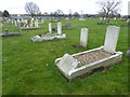
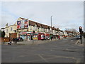
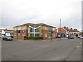
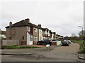
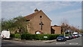
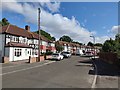

57 photos from this area
Area Information
Key information about the SW16 5JL including its size, population, and administrative classification.
- Area Type
- Postcode
- Area Size
- 9706 m²
- Population
- 2390
- Population Density
- 10978 people/km²
House Prices in SW16 5JL
37
Properties
£296,533
Average Sold Price
£187,000
Lowest Price
£540,000
Highest Price
Showing 37 properties
| Address | Type | Beds | Baths | Last Sale Price | Last Sale Date | |
|---|---|---|---|---|---|---|
| 24 Rowan Road, Streatham, London, SW16 5JL | Terraced | 5 | 2 | £440,000 | Mar 2025 | |
| 64 Rowan Road, Streatham, London, SW16 5JL | Terraced | 3 | 1 | £482,000 | Nov 2023 | |
| 12 Rowan Road, Streatham, London, SW16 5JL | house | 3 | - | £540,000 | Jun 2023 | |
| 26 Rowan Road, Streatham, London, SW16 5JL | Terraced | 3 | 1 | £405,000 | Jul 2019 | |
| 10 Rowan Road, Streatham, London, SW16 5JL | Terraced | 3 | 1 | £405,000 | Oct 2017 | |
| 28 Rowan Road, Streatham, London, SW16 5JL | Terraced | 3 | 1 | £396,000 | May 2017 | |
| 50 Rowan Road, Streatham, London, SW16 5JL | Semi-detached | 4 | 2 | £490,000 | Dec 2015 | |
| 20 Rowan Road, Streatham, London, SW16 5JL | Terraced | 3 | 1 | £415,000 | Dec 2015 | |
| 46 Rowan Road, Streatham, London, SW16 5JL | Terraced | 1 | 1 | £305,000 | Dec 2014 | |
| 18 Rowan Road, Streatham, London, SW16 5JL | Terraced | 4 | 2 | £230,000 | Mar 2013 |
Page 1 of 4
Energy Efficiency in SW16 5JL
Amenities
Schools
| Rank | School | Type | Entry gender | Ages |
|---|
Explore more schools in this area
Go to Schools tabDemographics
Household Size
Family (3-5 people)
most common
Accommodation Type
Houses
most common
Tenure
66
majority
Ethnic Group
White
most common
Religion
N/A
most common
Household Composition
N/A
most common
Age
47
median
Adults (30-64 years)
most common
Household Deprivation
N/A
with no deprivation
NS-SEC
31
in Lower managerial occupations
Explore more demographic insights in this area
Go to Demographics tabPlanning
Planning Constraints
- Flood RiskPremium
- Ramsar Wetland SitesPremium
- Area of Outstanding Natural BeautyPremium
- Protected Nature ReservePremium
- Protected WoodlandPremium