Area Overview for SW16 4RT
Photos of SW16 4RT

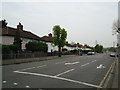
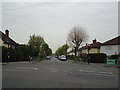
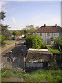
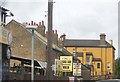

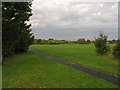
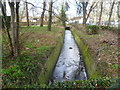

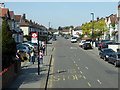
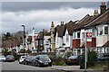
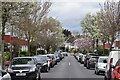
57 photos from this area
Area Information
Key information about the SW16 4RT including its size, population, and administrative classification.
- Area Type
- Postcode
- Area Size
- 9074 m²
- Population
- 1731
- Population Density
- 7516 people/km²
House Prices in SW16 4RT
32
Properties
£321,503
Average Sold Price
£73,600
Lowest Price
£550,000
Highest Price
Showing 32 properties
| Address | Type | Beds | Baths | Last Sale Price | Last Sale Date | |
|---|---|---|---|---|---|---|
| 6 Dalmeny Avenue, Norbury, London, SW16 4RT | Terraced | 3 | - | £550,000 | Apr 2022 | |
| 12 Dalmeny Avenue, Norbury, London, SW16 4RT | house | - | - | £452,000 | Aug 2021 | |
| 54 Dalmeny Avenue, Norbury, London, SW16 4RT | house | 3 | - | £524,000 | Nov 2020 | |
| 52 Dalmeny Avenue, Norbury, London, SW16 4RT | Terraced | 3 | 1 | £435,000 | May 2019 | |
| 18 Dalmeny Avenue, Norbury, London, SW16 4RT | Terraced | 3 | 1 | £484,000 | May 2017 | |
| 22 Dalmeny Avenue, Norbury, London, SW16 4RT | Terraced | 3 | 1 | £465,000 | Aug 2016 | |
| 46 Dalmeny Avenue, Norbury, London, SW16 4RT | Terraced | 3 | 1 | £445,000 | Mar 2016 | |
| 14 Dalmeny Avenue, Norbury, London, SW16 4RT | Terraced | 3 | 1 | £322,500 | Sep 2014 | |
| 48 Dalmeny Avenue, Norbury, London, SW16 4RT | house | - | - | £250,000 | Apr 2013 | |
| 50 Dalmeny Avenue, Norbury, London, SW16 4RT | house | - | - | £246,000 | Oct 2012 |
Page 1 of 4
Energy Efficiency in SW16 4RT
Amenities
Schools
| Rank | School | Type | Entry gender | Ages |
|---|
Explore more schools in this area
Go to Schools tabDemographics
Household Size
Family (3-5 people)
most common
Accommodation Type
Houses
most common
Tenure
78
majority
Ethnic Group
White
most common
Religion
N/A
most common
Household Composition
N/A
most common
Age
47
median
Adults (30-64 years)
most common
Household Deprivation
N/A
with no deprivation
NS-SEC
35
in Lower managerial occupations
Explore more demographic insights in this area
Go to Demographics tabPlanning
Planning Constraints
- Flood RiskPremium
- Ramsar Wetland SitesPremium
- Area of Outstanding Natural BeautyPremium
- Protected Nature ReservePremium
- Protected WoodlandPremium