Area Overview for SW16 4LA
Photos of SW16 4LA

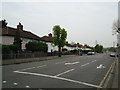
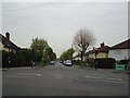
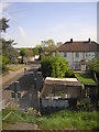
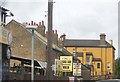

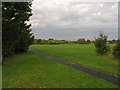
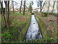

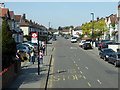
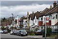
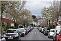
57 photos from this area
Area Information
Key information about the SW16 4LA including its size, population, and administrative classification.
- Area Type
- Postcode
- Area Size
- 1.6 hectares
- Population
- 2829
- Population Density
- 7528 people/km²
House Prices in SW16 4LA
89
Properties
£343,467
Average Sold Price
£1,500
Lowest Price
£1,035,000
Highest Price
Showing 89 properties
| Address | Type | Beds | Baths | Last Sale Price | Last Sale Date | |
|---|---|---|---|---|---|---|
| 14 Norbury Crescent, Norbury, London, SW16 4LA | Semi-detached | 8 | 5 | £1,035,000 | May 2022 | |
| 52 Norbury Crescent, Norbury, London, SW16 4LA | Flat | - | - | £1,500 | Apr 2022 | |
| 34 Norbury Crescent, Norbury, London, SW16 4LA | Semi-detached | 4 | 2 | £628,000 | Dec 2019 | |
| 98 Norbury Crescent, Norbury, London, SW16 4LA | house | - | - | £612,500 | Jan 2018 | |
| 70 Norbury Crescent, Norbury, London, SW16 4LA | Terraced | 1 | 1 | £440,000 | Oct 2016 | |
| 90 Norbury Crescent, Norbury, London, SW16 4LA | Semi-detached | 4 | - | £495,000 | Sep 2016 | |
| 42 Norbury Crescent, Norbury, London, SW16 4LA | Semi-detached | 4 | 2 | £549,950 | Feb 2016 | |
| 92 Norbury Crescent, Norbury, London, SW16 4LA | Semi-detached | 5 | - | £480,000 | Jun 2015 | |
| 86 Norbury Crescent, Norbury, London, SW16 4LA | Terraced | 4 | 1 | £430,000 | Jul 2014 | |
| 60 Norbury Crescent, Norbury, London, SW16 4LA | house | - | - | £250,000 | Jan 2014 |
Page 1 of 9
Energy Efficiency in SW16 4LA
Amenities
Schools
| Rank | School | Type | Entry gender | Ages |
|---|
Explore more schools in this area
Go to Schools tabDemographics
Household Size
One person
most common
Accommodation Type
Flats
most common
Tenure
39
majority
Ethnic Group
White
most common
Religion
N/A
most common
Household Composition
N/A
most common
Age
47
median
Adults (30-64 years)
most common
Household Deprivation
N/A
with no deprivation
NS-SEC
30
in Lower managerial occupations
Explore more demographic insights in this area
Go to Demographics tabPlanning
Planning Constraints
- Flood RiskPremium
- Ramsar Wetland SitesPremium
- Area of Outstanding Natural BeautyPremium
- Protected Nature ReservePremium
- Protected WoodlandPremium