Area Overview for SW16 4HX
Photos of SW16 4HX
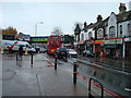
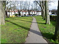
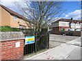
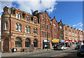
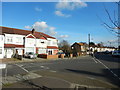
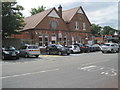
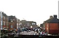
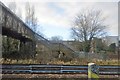
85 photos from this area
Area Information
Key information about the SW16 4HX including its size, population, and administrative classification.
- Area Type
- Postcode
- Area Size
- 6225 m²
- Population
- 1575
- Population Density
- 4933 people/km²
House Prices in SW16 4HX
17
Properties
£286,383
Average Sold Price
£88,500
Lowest Price
£457,000
Highest Price
Showing 17 properties
| Address | Type | Beds | Baths | Last Sale Price | Last Sale Date | |
|---|---|---|---|---|---|---|
| 87 Norbury Court Road, Norbury, London, SW16 4HX | Terraced | 3 | 1 | £415,000 | Dec 2019 | |
| 93 Norbury Court Road, Norbury, London, SW16 4HX | Terraced | 3 | 1 | £325,000 | Feb 2014 | |
| 75 Norbury Court Road, Norbury, London, SW16 4HX | house | 4 | - | £457,000 | Mar 2013 | |
| 81 Norbury Court Road, Norbury, London, SW16 4HX | Terraced | 3 | 1 | £325,000 | Feb 2013 | |
| 99 Norbury Court Road, Norbury, London, SW16 4HX | Semi-detached | - | - | £320,000 | Apr 2007 | |
| 79 Norbury Court Road, Norbury, London, SW16 4HX | Semi-detached | - | - | £268,000 | Mar 2003 | |
| 89 Norbury Court Road, Norbury, London, SW16 4HX | Semi-detached | 4 | 2 | £205,000 | Jul 2002 | |
| 97 Norbury Court Road, Norbury, London, SW16 4HX | Semi-detached | - | - | £173,950 | Jun 2001 | |
| 83 Norbury Court Road, Norbury, London, SW16 4HX | Terraced | - | - | £88,500 | Aug 1997 | |
| 75B Norbury Court Road, Norbury, London, SW16 4HX | Flat | 1 | 1 | - | - |
Page 1 of 2
Energy Efficiency in SW16 4HX
Amenities
Schools
| Rank | School | Type | Entry gender | Ages |
|---|
Explore more schools in this area
Go to Schools tabDemographics
Household Size
Family (3-5 people)
most common
Accommodation Type
Houses
most common
Tenure
73
majority
Ethnic Group
asian_total
most common
Religion
N/A
most common
Household Composition
N/A
most common
Age
47
median
Adults (30-64 years)
most common
Household Deprivation
N/A
with no deprivation
NS-SEC
39
in Lower managerial occupations
Explore more demographic insights in this area
Go to Demographics tabPlanning
Planning Constraints
- Flood RiskPremium
- Ramsar Wetland SitesPremium
- Area of Outstanding Natural BeautyPremium
- Protected Nature ReservePremium
- Protected WoodlandPremium