Area Overview for SW16 3SH
Photos of SW16 3SH
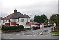
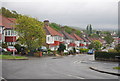
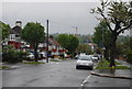
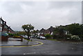
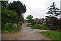
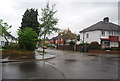
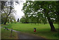
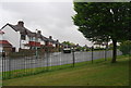
100 photos from this area
Area Information
Key information about the SW16 3SH including its size, population, and administrative classification.
- Area Type
- Postcode
- Area Size
- 2908 m²
- Population
- 1931
- Population Density
- 3228 people/km²
House Prices in SW16 3SH
8
Properties
£318,499
Average Sold Price
£81,000
Lowest Price
£493,000
Highest Price
Showing 8 properties
| Address | Type | Beds | Baths | Last Sale Price | Last Sale Date | |
|---|---|---|---|---|---|---|
| 121 Norbury Hill, Norbury, London, SW16 3SH | Terraced | 3 | 1 | £493,000 | Dec 2021 | |
| 125 Norbury Hill, Norbury, London, SW16 3SH | Terraced | 3 | 1 | £472,000 | Jun 2021 | |
| 119 Norbury Hill, Norbury, London, SW16 3SH | Terraced | 3 | 1 | £310,000 | Feb 2014 | |
| 127 Norbury Hill, Norbury, London, SW16 3SH | Terraced | 3 | 1 | £289,995 | Jul 2013 | |
| 123 Norbury Hill, Norbury, London, SW16 3SH | Terraced | - | - | £265,000 | Jul 2007 | |
| 113 Norbury Hill, Norbury, London, SW16 3SH | Terraced | 3 | 1 | £81,000 | Nov 1996 | |
| 117 Norbury Hill, Norbury, London, SW16 3SH | Terraced | - | - | - | - | |
| 115 Norbury Hill, Norbury, London, SW16 3SH | house | - | - | - | - |
Energy Efficiency in SW16 3SH
Amenities
Schools
| Rank | School | Type | Entry gender | Ages |
|---|
Explore more schools in this area
Go to Schools tabDemographics
Household Size
Family (3-5 people)
most common
Accommodation Type
Houses
most common
Tenure
75
majority
Ethnic Group
White
most common
Religion
N/A
most common
Household Composition
N/A
most common
Age
47
median
Adults (30-64 years)
most common
Household Deprivation
N/A
with no deprivation
NS-SEC
41
in Lower managerial occupations
Explore more demographic insights in this area
Go to Demographics tabPlanning
Planning Constraints
- Flood RiskPremium
- Ramsar Wetland SitesPremium
- Area of Outstanding Natural BeautyPremium
- Protected Nature ReservePremium
- Protected WoodlandPremium