Area Overview for SW16 2SE
Photos of SW16 2SE
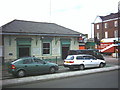
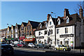
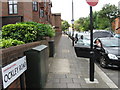
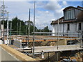

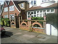
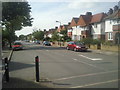
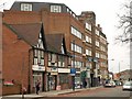
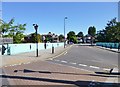
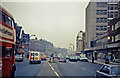
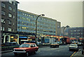
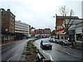
100 photos from this area
Area Information
Key information about the SW16 2SE including its size, population, and administrative classification.
- Area Type
- Postcode
- Area Size
- 5312 m²
- Population
- 1681
- Population Density
- 7582 people/km²
House Prices in SW16 2SE
26
Properties
£391,790
Average Sold Price
£204,000
Lowest Price
£600,000
Highest Price
Showing 26 properties
| Address | Type | Beds | Baths | Last Sale Price | Last Sale Date | |
|---|---|---|---|---|---|---|
| 167 Leigham Court Road, London, SW16 2SE | Flat | - | - | £475,000 | Jul 2023 | |
| 155 Leigham Court Road, London, SW16 2SE | Maisonette | 1 | 1 | £600,000 | Jul 2020 | |
| 163 Leigham Court Road, London, SW16 2SE | Flat | 3 | 1 | £380,000 | Jul 2017 | |
| 171 Leigham Court Road, London, SW16 2SE | Flat | 3 | - | £299,950 | Nov 2010 | |
| 191 Leigham Court Road, London, SW16 2SE | Flat | - | - | £204,000 | Nov 2002 | |
| 177 Leigham Court Road, London, SW16 2SE | Maisonette | 2 | 1 | - | - | |
| 169 Leigham Court Road, London, SW16 2SE | Maisonette | 3 | 1 | - | - | |
| 159 Leigham Court Road, London, SW16 2SE | Maisonette | 3 | 1 | - | - | |
| 193 Leigham Court Road, London, SW16 2SE | Flat | 3 | - | - | - | |
| 161 Leigham Court Road, London, SW16 2SE | Flat | 3 | - | - | - |
Page 1 of 3
Energy Efficiency in SW16 2SE
Amenities
Schools
| Rank | School | Type | Entry gender | Ages |
|---|
Explore more schools in this area
Go to Schools tabDemographics
Household Size
One person
most common
Accommodation Type
Flats
most common
Tenure
38
majority
Ethnic Group
White
most common
Religion
N/A
most common
Household Composition
N/A
most common
Age
47
median
Adults (30-64 years)
most common
Household Deprivation
N/A
with no deprivation
NS-SEC
41
in Lower managerial occupations
Explore more demographic insights in this area
Go to Demographics tabPlanning
Planning Constraints
- Flood RiskPremium
- Ramsar Wetland SitesPremium
- Area of Outstanding Natural BeautyPremium
- Protected Nature ReservePremium
- Protected WoodlandPremium