Area Overview for SW16 2BY
Photos of SW16 2BY
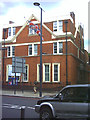
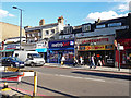

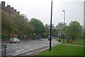
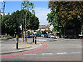
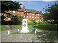
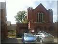
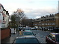
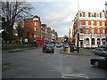
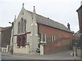
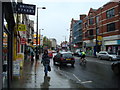
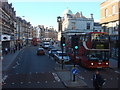
100 photos from this area
Area Information
Key information about the SW16 2BY including its size, population, and administrative classification.
- Area Type
- Postcode
- Area Size
- 1.1 hectares
- Population
- 1837
- Population Density
- 9459 people/km²
House Prices in SW16 2BY
47
Properties
£477,863
Average Sold Price
£65,250
Lowest Price
£800,000
Highest Price
Showing 47 properties
| Address | Type | Beds | Baths | Last Sale Price | Last Sale Date | |
|---|---|---|---|---|---|---|
| 137 Wellfield Road, London, SW16 2BY | house | - | - | £775,000 | Sep 2025 | |
| 197 Wellfield Road, London, SW16 2BY | Terraced | 3 | 1 | £715,000 | Jan 2025 | |
| 135 Wellfield Road, London, SW16 2BY | Terraced | 3 | 2 | £775,000 | Sep 2024 | |
| 113 Wellfield Road, London, SW16 2BY | Semi-detached | 2 | 1 | £650,000 | Aug 2024 | |
| 175 Wellfield Road, London, SW16 2BY | Terraced | 2 | 2 | £645,000 | Oct 2023 | |
| 177 Wellfield Road, London, SW16 2BY | Semi-detached | 2 | 1 | £650,000 | Oct 2023 | |
| 155 Wellfield Road, London, SW16 2BY | Terraced | 3 | 1 | £520,000 | Sep 2023 | |
| 163 Wellfield Road, London, SW16 2BY | Detached | 2 | 1 | £525,000 | Nov 2022 | |
| 131 Wellfield Road, London, SW16 2BY | Cottage | 3 | 1 | £670,000 | Jul 2022 | |
| 187 Wellfield Road, London, SW16 2BY | Terraced | 3 | - | £800,000 | Nov 2021 |
Page 1 of 5
Energy Efficiency in SW16 2BY
Amenities
Schools
| Rank | School | Type | Entry gender | Ages |
|---|
Explore more schools in this area
Go to Schools tabDemographics
Household Size
Family (3-5 people)
most common
Accommodation Type
Flats
most common
Tenure
52
majority
Ethnic Group
White
most common
Religion
N/A
most common
Household Composition
N/A
most common
Age
47
median
Adults (30-64 years)
most common
Household Deprivation
N/A
with no deprivation
NS-SEC
49
in Lower managerial occupations
Explore more demographic insights in this area
Go to Demographics tabPlanning
Planning Constraints
- Flood RiskPremium
- Ramsar Wetland SitesPremium
- Area of Outstanding Natural BeautyPremium
- Protected Nature ReservePremium
- Protected WoodlandPremium