Area Overview for SW15 6PF
Photos of SW15 6PF
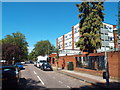
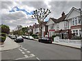
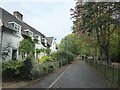
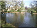
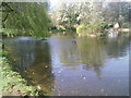
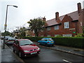
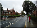
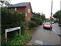
40 photos from this area
Area Information
Key information about the SW15 6PF including its size, population, and administrative classification.
- Area Type
- Postcode
- Area Size
- 6417 m²
- Population
- 1375
- Population Density
- 5027 people/km²
House Prices in SW15 6PF
17
Properties
£1,141,300
Average Sold Price
£410,000
Lowest Price
£1,995,000
Highest Price
Showing 17 properties
| Address | Type | Beds | Baths | Last Sale Price | Last Sale Date | |
|---|---|---|---|---|---|---|
| 24 Luttrell Avenue, London, SW15 6PF | Semi-detached | 4 | 2 | £1,250,000 | Jan 2024 | |
| 20 Luttrell Avenue, London, SW15 6PF | Semi-detached | 4 | 2 | £1,415,000 | Oct 2019 | |
| 14 Luttrell Avenue, London, SW15 6PF | Semi-detached | 5 | 3 | £1,455,000 | Jun 2014 | |
| 6 Luttrell Avenue, London, SW15 6PF | house | 5 | - | £1,995,000 | Jun 2014 | |
| 4 Luttrell Avenue, London, SW15 6PF | house | 4 | - | £1,145,000 | Mar 2012 | |
| 30 Luttrell Avenue, London, SW15 6PF | house | 6 | - | £1,200,000 | Nov 2010 | |
| 16 Luttrell Avenue, London, SW15 6PF | house | - | - | £1,250,000 | Feb 2010 | |
| 28 Luttrell Avenue, London, SW15 6PF | Terraced | - | - | £750,000 | Feb 2007 | |
| 2A Luttrell Avenue, London, SW15 6PF | Detached | - | - | £543,000 | Apr 1998 | |
| 32 Luttrell Avenue, London, SW15 6PF | Terraced | - | - | £410,000 | Mar 1998 |
Page 1 of 2
Energy Efficiency in SW15 6PF
Amenities
Schools
| Rank | School | Type | Entry gender | Ages |
|---|
Explore more schools in this area
Go to Schools tabDemographics
Household Size
Family (3-5 people)
most common
Accommodation Type
Houses
most common
Tenure
79
majority
Ethnic Group
White
most common
Religion
N/A
most common
Household Composition
N/A
most common
Age
47
median
Adults (30-64 years)
most common
Household Deprivation
N/A
with no deprivation
NS-SEC
57
in Lower managerial occupations
Explore more demographic insights in this area
Go to Demographics tabPlanning
Planning Constraints
- Flood RiskPremium
- Ramsar Wetland SitesPremium
- Area of Outstanding Natural BeautyPremium
- Protected Nature ReservePremium
- Protected WoodlandPremium