Area Overview for SW15 6DT
Photos of SW15 6DT
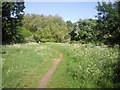
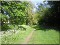
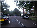
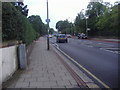
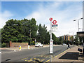
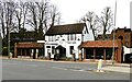
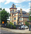
52 photos from this area
Area Information
Key information about the SW15 6DT including its size, population, and administrative classification.
- Area Type
- Postcode
- Area Size
- 3102 m²
- Population
- 1534
- Population Density
- 9308 people/km²
House Prices in SW15 6DT
9
Properties
£1,021,667
Average Sold Price
£225,000
Lowest Price
£1,515,000
Highest Price
Showing 9 properties
| Address | Type | Beds | Baths | Last Sale Price | Last Sale Date | |
|---|---|---|---|---|---|---|
| 7 Chartfield Avenue, London, SW15 6DT | Semi-detached | 5 | - | £1,515,000 | Jan 2012 | |
| 9 Chartfield Avenue, London, SW15 6DT | Semi-detached | 5 | 3 | £1,325,000 | Mar 2007 | |
| 11A Chartfield Avenue, London, SW15 6DT | Retail | 2 | 2 | £225,000 | Jul 2000 | |
| 13A Chartfield Avenue, London, SW15 6DT | Detached | 5 | 3 | - | - | |
| 13B Chartfield Avenue, London, SW15 6DT | Semi-detached | 4 | 4 | - | - | |
| 11 Chartfield Avenue, London, SW15 6DT | Semi-detached | - | - | - | - | |
| Tennis 38M From 36 Erpingham Road 11M From Unnamed Road, All Saints Passageway, London, SW15 6DT | Leisure | - | - | - | - | |
| Tennis 36M From 12 Egliston Mews 46M From Unnamed Road, All Saints Passageway, London, SW15 6DT | Leisure | - | - | - | - | |
| Scout Hall, Putney Common, London, SW15 6DT | commercial | - | - | - | - |
Energy Efficiency in SW15 6DT
Amenities
Schools
| Rank | School | Type | Entry gender | Ages |
|---|
Explore more schools in this area
Go to Schools tabDemographics
Household Size
One person
most common
Accommodation Type
Flats
most common
Tenure
39
majority
Ethnic Group
White
most common
Religion
N/A
most common
Household Composition
N/A
most common
Age
47
median
Adults (30-64 years)
most common
Household Deprivation
N/A
with no deprivation
NS-SEC
46
in Lower managerial occupations
Explore more demographic insights in this area
Go to Demographics tabPlanning
Planning Constraints
- Flood RiskPremium
- Ramsar Wetland SitesPremium
- Area of Outstanding Natural BeautyPremium
- Protected Nature ReservePremium
- Protected WoodlandPremium