Area Overview for SW15 5LB
Photos of SW15 5LB
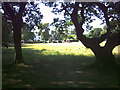
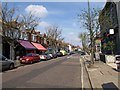
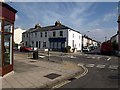
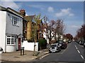
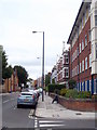
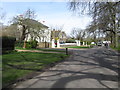
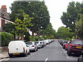
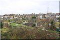
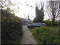
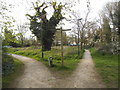
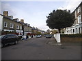
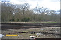
98 photos from this area
Area Information
Key information about the SW15 5LB including its size, population, and administrative classification.
- Area Type
- Postcode
- Area Size
- 2737 m²
- Population
- 1888
- Population Density
- 3492 people/km²
House Prices in SW15 5LB
29
Properties
£213,542
Average Sold Price
£48,500
Lowest Price
£399,999
Highest Price
Showing 29 properties
| Address | Type | Beds | Baths | Last Sale Price | Last Sale Date | |
|---|---|---|---|---|---|---|
| 92 Woking Close, London, SW15 5LB | Maisonette | 3 | 1 | £380,000 | Jan 2019 | |
| 90 Woking Close, London, SW15 5LB | Maisonette | 4 | 1 | £399,999 | Sep 2014 | |
| 106 Woking Close, London, SW15 5LB | Flat | 1 | 1 | £193,000 | May 2013 | |
| 107 Woking Close, London, SW15 5LB | Flat | - | - | £222,000 | Jul 2011 | |
| 89 Woking Close, London, SW15 5LB | Flat | - | - | £250,000 | Aug 2008 | |
| 100 Woking Close, London, SW15 5LB | Maisonette | 4 | 2 | £250,000 | Oct 2007 | |
| 87 Woking Close, London, SW15 5LB | Flat | - | - | £185,000 | Sep 2004 | |
| 86 Woking Close, London, SW15 5LB | Flat | - | - | £185,000 | Apr 2004 | |
| 88 Woking Close, London, SW15 5LB | Maisonette | - | - | £202,500 | Nov 2003 | |
| 91 Woking Close, London, SW15 5LB | Maisonette | - | - | £161,500 | Apr 2002 |
Page 1 of 3
Energy Efficiency in SW15 5LB
Amenities
Schools
| Rank | School | Type | Entry gender | Ages |
|---|
Explore more schools in this area
Go to Schools tabDemographics
Household Size
One person
most common
Accommodation Type
Flats
most common
Tenure
30
majority
Ethnic Group
White
most common
Religion
N/A
most common
Household Composition
N/A
most common
Age
47
median
Adults (30-64 years)
most common
Household Deprivation
N/A
with no deprivation
NS-SEC
23
in Lower managerial occupations
Explore more demographic insights in this area
Go to Demographics tabPlanning
Planning Constraints
- Flood RiskPremium
- Ramsar Wetland SitesPremium
- Area of Outstanding Natural BeautyPremium
- Protected Nature ReservePremium
- Protected WoodlandPremium