Area Overview for SW15 3EH
Photos of SW15 3EH
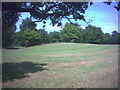
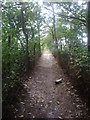
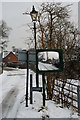
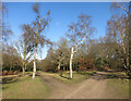
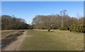
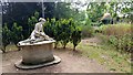
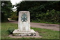
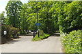
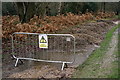
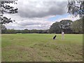
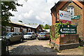
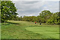
53 photos from this area
Area Information
Key information about the SW15 3EH including its size, population, and administrative classification.
- Area Type
- Postcode
- Area Size
- 14.8 hectares
- Population
- 1405
- Population Density
- 396 people/km²
House Prices in SW15 3EH
48
Properties
£221,676
Average Sold Price
£24,400
Lowest Price
£378,000
Highest Price
Showing 48 properties
| Address | Type | Beds | Baths | Last Sale Price | Last Sale Date | |
|---|---|---|---|---|---|---|
| 98 Stroud Crescent, London, SW15 3EH | Flat | - | - | £213,495 | Jun 2025 | |
| 106 Stroud Crescent, London, SW15 3EH | Maisonette | - | - | £347,000 | Jan 2025 | |
| 152 Stroud Crescent, London, SW15 3EH | Flat | - | - | £370,000 | Nov 2024 | |
| 104 Stroud Crescent, London, SW15 3EH | Terraced | 3 | - | £378,000 | Jul 2024 | |
| 94 Stroud Crescent, London, SW15 3EH | house | - | - | £350,000 | Jul 2024 | |
| 136 Stroud Crescent, London, SW15 3EH | Flat | - | - | £330,000 | Apr 2022 | |
| 154 Stroud Crescent, London, SW15 3EH | Maisonette | - | - | £330,000 | Mar 2021 | |
| 176 Stroud Crescent, London, SW15 3EH | Maisonette | - | - | £350,000 | Jan 2021 | |
| 130 Stroud Crescent, London, SW15 3EH | Maisonette | - | - | £330,000 | Dec 2019 | |
| 144 Stroud Crescent, London, SW15 3EH | Maisonette | - | - | £285,000 | Sep 2018 |
Page 1 of 5
Energy Efficiency in SW15 3EH
Amenities
Schools
| Rank | School | Type | Entry gender | Ages |
|---|
Explore more schools in this area
Go to Schools tabDemographics
Household Size
One person
most common
Accommodation Type
Houses
most common
Tenure
60
majority
Ethnic Group
White
most common
Religion
N/A
most common
Household Composition
N/A
most common
Age
47
median
Adults (30-64 years)
most common
Household Deprivation
N/A
with no deprivation
NS-SEC
59
in Lower managerial occupations
Explore more demographic insights in this area
Go to Demographics tabPlanning
Planning Constraints
- Flood RiskPremium
- Ramsar Wetland SitesPremium
- Area of Outstanding Natural BeautyPremium
- Protected Nature ReservePremium
- Protected WoodlandPremium