Area Overview for SW15 3AD
Photos of SW15 3AD

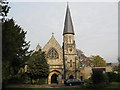
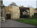
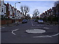
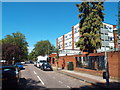
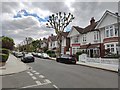
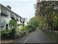
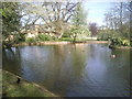
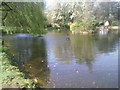
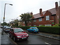
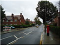
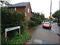
40 photos from this area
Area Information
Key information about the SW15 3AD including its size, population, and administrative classification.
- Area Type
- Postcode
- Area Size
- 3718 m²
- Population
- 2114
- Population Density
- 13346 people/km²
House Prices in SW15 3AD
42
Properties
£267,344
Average Sold Price
£48,500
Lowest Price
£384,000
Highest Price
Showing 42 properties
| Address | Type | Beds | Baths | Last Sale Price | Last Sale Date | |
|---|---|---|---|---|---|---|
| 91 Innes Gardens, London, SW15 3AD | Flat | 2 | 1 | £380,000 | Sep 2025 | |
| 93 Innes Gardens, London, SW15 3AD | Flat | - | - | £380,000 | Mar 2025 | |
| 81 Innes Gardens, London, SW15 3AD | Flat | - | - | £380,000 | Jan 2025 | |
| 76 Innes Gardens, London, SW15 3AD | Flat | - | - | £300,000 | Oct 2024 | |
| 60 Innes Gardens, London, SW15 3AD | Flat | - | - | £293,000 | Aug 2023 | |
| 85 Innes Gardens, London, SW15 3AD | Flat | - | - | £370,000 | Feb 2023 | |
| 79 Innes Gardens, London, SW15 3AD | Flat | - | - | £364,000 | Feb 2023 | |
| 74 Innes Gardens, London, SW15 3AD | Flat | - | - | £360,000 | Nov 2021 | |
| 78 Innes Gardens, London, SW15 3AD | Flat | - | - | £132,000 | Feb 2021 | |
| 83 Innes Gardens, London, SW15 3AD | Flat | - | - | £353,000 | May 2020 |
Page 1 of 5
Energy Efficiency in SW15 3AD
Amenities
Schools
| Rank | School | Type | Entry gender | Ages |
|---|
Explore more schools in this area
Go to Schools tabDemographics
Household Size
Family (3-5 people)
most common
Accommodation Type
Flats
most common
Tenure
30
majority
Ethnic Group
White
most common
Religion
N/A
most common
Household Composition
N/A
most common
Age
47
median
Adults (30-64 years)
most common
Household Deprivation
N/A
with no deprivation
NS-SEC
28
in Lower managerial occupations
Explore more demographic insights in this area
Go to Demographics tabPlanning
Planning Constraints
- Flood RiskPremium
- Ramsar Wetland SitesPremium
- Area of Outstanding Natural BeautyPremium
- Protected Nature ReservePremium
- Protected WoodlandPremium