Area Overview for SW15 2NG
Photos of SW15 2NG
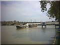
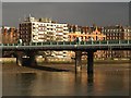
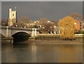
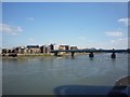
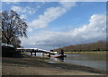
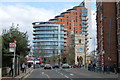
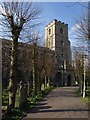
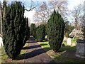
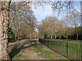
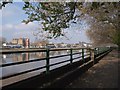
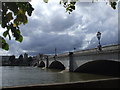
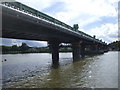
100 photos from this area
Area Information
Key information about the SW15 2NG including its size, population, and administrative classification.
- Area Type
- Postcode
- Area Size
- 5734 m²
- Population
- 1647
- Population Density
- 11909 people/km²
House Prices in SW15 2NG
68
Properties
£882,250
Average Sold Price
£240,000
Lowest Price
£1,280,000
Highest Price
Showing 68 properties
| Address | Type | Beds | Baths | Last Sale Price | Last Sale Date | |
|---|---|---|---|---|---|---|
| 178 Putney Bridge Road, London, SW15 2NG | house | - | - | £932,000 | Jun 2023 | |
| 166 Putney Bridge Road, London, SW15 2NG | Terraced | 5 | 2 | £1,077,000 | Jul 2015 | |
| 190 Putney Bridge Road, London, SW15 2NG | house | 5 | - | £1,280,000 | Jun 2014 | |
| 188 Putney Bridge Road, London, SW15 2NG | Terraced | - | - | £240,000 | Jan 1997 | |
| 156 Putney Bridge Road, London, SW15 2NG | Flat | 5 | 2 | - | - | |
| Flat B, 170 Putney Bridge Road, London, SW15 2NG | Flat | 2 | 1 | - | - | |
| Flat First Floor B, 150 Putney Bridge Road, London, SW15 2NG | Flat | 2 | 1 | - | - | |
| Flat Top Floor, 158 Putney Bridge Road, London, SW15 2NG | Flat | 1 | 1 | - | - | |
| 194 Putney Bridge Road, London, SW15 2NG | Flat | 2 | 1 | - | - | |
| Flat First Floor B, 162 Putney Bridge Road, London, SW15 2NG | Maisonette | 3 | - | - | - |
Page 1 of 7
Energy Efficiency in SW15 2NG
Amenities
Schools
| Rank | School | Type | Entry gender | Ages |
|---|
Explore more schools in this area
Go to Schools tabDemographics
Household Size
Two person
most common
Accommodation Type
Flats
most common
Tenure
52
majority
Ethnic Group
White
most common
Religion
N/A
most common
Household Composition
N/A
most common
Age
47
median
Adults (30-64 years)
most common
Household Deprivation
N/A
with no deprivation
NS-SEC
66
in Lower managerial occupations
Explore more demographic insights in this area
Go to Demographics tabPlanning
Planning Constraints
- Flood RiskPremium
- Ramsar Wetland SitesPremium
- Area of Outstanding Natural BeautyPremium
- Protected Nature ReservePremium
- Protected WoodlandPremium