Area Overview for SW14 7DE
Photos of SW14 7DE
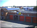
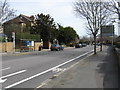
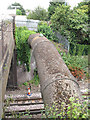
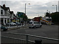
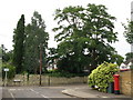
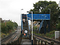
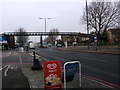
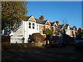
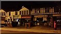
97 photos from this area
Area Information
Key information about the SW14 7DE including its size, population, and administrative classification.
- Area Type
- Postcode
- Area Size
- 2610 m²
- Population
- 1904
- Population Density
- 10543 people/km²
House Prices in SW14 7DE
8
Properties
£150,000
Average Sold Price
£150,000
Lowest Price
£150,000
Highest Price
Showing 8 properties
| Address | Type | Beds | Baths | Last Sale Price | Last Sale Date | |
|---|---|---|---|---|---|---|
| 503A Upper Richmond Road West, East Sheen, London, SW14 7DE | Maisonette | 3 | - | £150,000 | Oct 2006 | |
| 507B Upper Richmond Road West, East Sheen, London, SW14 7DE | Terraced | 2 | 2 | - | - | |
| 505A Upper Richmond Road West, East Sheen, London, SW14 7DE | Flat | - | - | - | - | |
| Kurk Grill Bar, 501 Upper Richmond Road West, East Sheen, London, SW14 7DE | Retail | - | - | - | - | |
| Pizza Firezza Limited, 505-507 Upper Richmond Road West, East Sheen, London, SW14 7DE | restaurant_cafe | - | - | - | - | |
| Flat, 499 Upper Richmond Road West, East Sheen, London, SW14 7DE | Flat | - | - | - | - | |
| Flat A, 501 Upper Richmond Road West, East Sheen, London, SW14 7DE | Flat | - | - | - | - | |
| 507A Upper Richmond Road West, East Sheen, London, SW14 7DE | Flat | - | - | - | - |
Energy Efficiency in SW14 7DE
Amenities
Schools
| Rank | School | Type | Entry gender | Ages |
|---|
Explore more schools in this area
Go to Schools tabDemographics
Household Size
Family (3-5 people)
most common
Accommodation Type
Houses
most common
Tenure
62
majority
Ethnic Group
White
most common
Religion
N/A
most common
Household Composition
N/A
most common
Age
47
median
Adults (30-64 years)
most common
Household Deprivation
N/A
with no deprivation
NS-SEC
58
in Lower managerial occupations
Explore more demographic insights in this area
Go to Demographics tabPlanning
Planning Constraints
- Flood RiskPremium
- Ramsar Wetland SitesPremium
- Area of Outstanding Natural BeautyPremium
- Protected Nature ReservePremium
- Protected WoodlandPremium