Area Overview for SW13 0JT
Photos of SW13 0JT
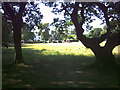
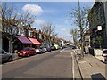
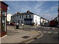
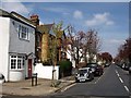
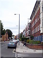
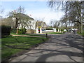
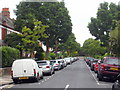
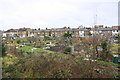
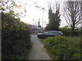
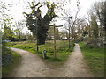
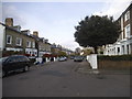
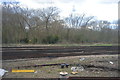
98 photos from this area
Area Information
Key information about the SW13 0JT including its size, population, and administrative classification.
- Area Type
- Postcode
- Area Size
- 7283 m²
- Population
- 1885
- Population Density
- 12477 people/km²
House Prices in SW13 0JT
41
Properties
£780,483
Average Sold Price
£135,000
Lowest Price
£1,071,000
Highest Price
Showing 41 properties
| Address | Type | Beds | Baths | Last Sale Price | Last Sale Date | |
|---|---|---|---|---|---|---|
| 18 Treen Avenue, Barnes, London, SW13 0JT | Detached | 2 | 1 | £972,000 | Jul 2025 | |
| 36 Treen Avenue, Barnes, London, SW13 0JT | Terraced | 3 | 1 | £1,050,000 | Jul 2024 | |
| 16 Treen Avenue, Barnes, London, SW13 0JT | Terraced | 3 | 2 | £950,000 | May 2024 | |
| 58 Treen Avenue, Barnes, London, SW13 0JT | Terraced | 2 | 1 | £780,000 | Dec 2023 | |
| 60 Treen Avenue, Barnes, London, SW13 0JT | Terraced | 2 | 1 | £750,000 | Jan 2023 | |
| 14 Treen Avenue, Barnes, London, SW13 0JT | Terraced | 3 | 2 | £950,000 | Dec 2022 | |
| 10 Treen Avenue, Barnes, London, SW13 0JT | Terraced | 1 | 1 | £975,000 | Jul 2022 | |
| 38 Treen Avenue, Barnes, London, SW13 0JT | Terraced | 3 | 1 | £920,000 | Jun 2022 | |
| 32 Treen Avenue, Barnes, London, SW13 0JT | Terraced | 3 | 2 | £1,071,000 | Jun 2022 | |
| 40 Treen Avenue, Barnes, London, SW13 0JT | Terraced | 4 | 1 | £900,000 | May 2022 |
Page 1 of 5
Energy Efficiency in SW13 0JT
Amenities
Schools
| Rank | School | Type | Entry gender | Ages |
|---|
Explore more schools in this area
Go to Schools tabDemographics
Household Size
Family (3-5 people)
most common
Accommodation Type
Houses
most common
Tenure
62
majority
Ethnic Group
White
most common
Religion
N/A
most common
Household Composition
N/A
most common
Age
47
median
Adults (30-64 years)
most common
Household Deprivation
N/A
with no deprivation
NS-SEC
63
in Lower managerial occupations
Explore more demographic insights in this area
Go to Demographics tabPlanning
Planning Constraints
- Flood RiskPremium
- Ramsar Wetland SitesPremium
- Area of Outstanding Natural BeautyPremium
- Protected Nature ReservePremium
- Protected WoodlandPremium