Area Overview for SW13 0AA
Photos of SW13 0AA

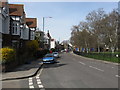
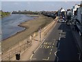
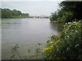
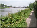
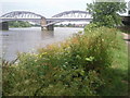
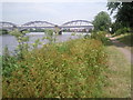
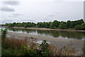
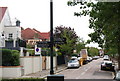
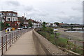
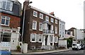
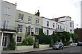
100 photos from this area
Area Information
Key information about the SW13 0AA including its size, population, and administrative classification.
- Area Type
- Postcode
- Area Size
- 7534 m²
- Population
- 1416
- Population Density
- 10078 people/km²
House Prices in SW13 0AA
38
Properties
£1,114,150
Average Sold Price
£229,000
Lowest Price
£2,775,000
Highest Price
Showing 38 properties
| Address | Type | Beds | Baths | Last Sale Price | Last Sale Date | |
|---|---|---|---|---|---|---|
| 49 Cleveland Road, Barnes, London, SW13 0AA | Terraced | 2 | 1 | £1,100,000 | Nov 2023 | |
| 37 Cleveland Road, Barnes, London, SW13 0AA | Semi-detached | 4 | 2 | £2,201,000 | Aug 2022 | |
| 11 Cleveland Road, Barnes, London, SW13 0AA | Semi-detached | 7 | 4 | £2,690,000 | Jun 2021 | |
| 31 Cleveland Road, Barnes, London, SW13 0AA | Semi-detached | 2 | 1 | £1,495,000 | Dec 2019 | |
| 45 Cleveland Road, Barnes, London, SW13 0AA | house | 2 | 1 | £750,000 | Jul 2018 | |
| 15 Cleveland Road, Barnes, London, SW13 0AA | house | - | - | £2,775,000 | Jul 2016 | |
| 25 Cleveland Road, Barnes, London, SW13 0AA | Flat | 3 | - | £870,000 | Jan 2016 | |
| 35 Cleveland Road, Barnes, London, SW13 0AA | Semi-detached | 4 | 1 | £1,570,000 | Jun 2015 | |
| 29 Cleveland Road, Barnes, London, SW13 0AA | Semi-detached | 4 | 2 | £1,675,000 | Feb 2014 | |
| 39 Cleveland Road, Barnes, London, SW13 0AA | Terraced | 3 | 2 | £850,000 | Dec 2013 |
Page 1 of 4
Energy Efficiency in SW13 0AA
Amenities
Schools
| Rank | School | Type | Entry gender | Ages |
|---|
Explore more schools in this area
Go to Schools tabDemographics
Household Size
One person
most common
Accommodation Type
Houses
most common
Tenure
57
majority
Ethnic Group
White
most common
Religion
N/A
most common
Household Composition
N/A
most common
Age
47
median
Adults (30-64 years)
most common
Household Deprivation
N/A
with no deprivation
NS-SEC
58
in Lower managerial occupations
Explore more demographic insights in this area
Go to Demographics tabPlanning
Planning Constraints
- Flood RiskPremium
- Ramsar Wetland SitesPremium
- Area of Outstanding Natural BeautyPremium
- Protected Nature ReservePremium
- Protected WoodlandPremium