Area Overview for SW12 9PB
Photos of SW12 9PB
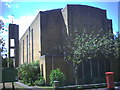

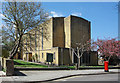

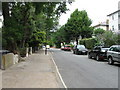
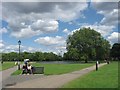
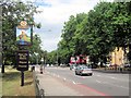
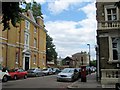
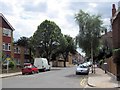
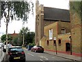

100 photos from this area
Area Information
Key information about the SW12 9PB including its size, population, and administrative classification.
- Area Type
- Postcode
- Area Size
- 5183 m²
- Population
- 1722
- Population Density
- 10305 people/km²
House Prices in SW12 9PB
29
Properties
£1,135,754
Average Sold Price
£248,000
Lowest Price
£2,200,000
Highest Price
Showing 29 properties
| Address | Type | Beds | Baths | Last Sale Price | Last Sale Date | |
|---|---|---|---|---|---|---|
| 89 Englewood Road, London, SW12 9PB | Terraced | 5 | 4 | £2,200,000 | Jul 2025 | |
| 85 Englewood Road, London, SW12 9PB | Terraced | 3 | 1 | £1,225,000 | Mar 2024 | |
| 75 Englewood Road, London, SW12 9PB | house | - | - | £1,750,000 | Dec 2021 | |
| 49 Englewood Road, London, SW12 9PB | Terraced | 4 | 2 | £1,250,000 | Jun 2021 | |
| 59 Englewood Road, London, SW12 9PB | Terraced | 4 | 1 | £1,270,000 | Mar 2018 | |
| 71 Englewood Road, London, SW12 9PB | Terraced | 6 | 3 | £2,000,000 | Jan 2018 | |
| 77 Englewood Road, London, SW12 9PB | Terraced | 4 | - | £1,393,310 | Jan 2018 | |
| 51 Englewood Road, London, SW12 9PB | Terraced | 5 | - | £1,415,000 | Sep 2015 | |
| 61 Englewood Road, London, SW12 9PB | Terraced | 4 | 2 | £1,300,000 | Jun 2014 | |
| 83 Englewood Road, London, SW12 9PB | house | 5 | 2 | £820,000 | Nov 2007 |
Page 1 of 3
Energy Efficiency in SW12 9PB
Amenities
Schools
| Rank | School | Type | Entry gender | Ages |
|---|
Explore more schools in this area
Go to Schools tabDemographics
Household Size
Two person
most common
Accommodation Type
Flats
most common
Tenure
42
majority
Ethnic Group
White
most common
Religion
N/A
most common
Household Composition
N/A
most common
Age
47
median
Adults (30-64 years)
most common
Household Deprivation
N/A
with no deprivation
NS-SEC
71
in Lower managerial occupations
Explore more demographic insights in this area
Go to Demographics tabPlanning
Planning Constraints
- Flood RiskPremium
- Ramsar Wetland SitesPremium
- Area of Outstanding Natural BeautyPremium
- Protected Nature ReservePremium
- Protected WoodlandPremium