Area Overview for SW12 8HQ
Photos of SW12 8HQ
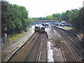
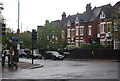
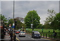
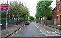
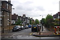
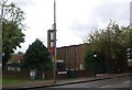
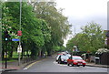
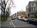
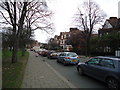
100 photos from this area
Area Information
Key information about the SW12 8HQ including its size, population, and administrative classification.
- Area Type
- Postcode
- Area Size
- 4211 m²
- Population
- 1500
- Population Density
- 16376 people/km²
House Prices in SW12 8HQ
30
Properties
£456,590
Average Sold Price
£45,000
Lowest Price
£1,425,000
Highest Price
Showing 30 properties
| Address | Type | Beds | Baths | Last Sale Price | Last Sale Date | |
|---|---|---|---|---|---|---|
| 58 Boundaries Road, London, SW12 8HQ | Terraced | 4 | 2 | £1,250,499 | Sep 2025 | |
| 116 Boundaries Road, London, SW12 8HQ | Flat | 1 | 1 | £775,000 | Oct 2022 | |
| 80 Boundaries Road, London, SW12 8HQ | Flat | - | - | £360,000 | Nov 2021 | |
| 56 Boundaries Road, London, SW12 8HQ | Terraced | 1 | 1 | £1,425,000 | Feb 2021 | |
| 76 Boundaries Road, London, SW12 8HQ | Flat | - | - | £350,000 | Aug 2019 | |
| 90 Boundaries Road, London, SW12 8HQ | house | 2 | 1 | £765,000 | Sep 2016 | |
| 66 Boundaries Road, London, SW12 8HQ | Flat | - | - | £305,000 | Sep 2012 | |
| 118 Boundaries Road, London, SW12 8HQ | Maisonette | 2 | 2 | £455,000 | Dec 2009 | |
| 64 Boundaries Road, London, SW12 8HQ | Maisonette | - | - | £419,000 | Oct 2009 | |
| 72 Boundaries Road, London, SW12 8HQ | Flat | 1 | 1 | £185,000 | Aug 2009 |
Page 1 of 3
Energy Efficiency in SW12 8HQ
Amenities
Schools
| Rank | School | Type | Entry gender | Ages |
|---|
Explore more schools in this area
Go to Schools tabDemographics
Household Size
Family (3-5 people)
most common
Accommodation Type
Flats
most common
Tenure
54
majority
Ethnic Group
White
most common
Religion
N/A
most common
Household Composition
N/A
most common
Age
47
median
Adults (30-64 years)
most common
Household Deprivation
N/A
with no deprivation
NS-SEC
69
in Lower managerial occupations
Explore more demographic insights in this area
Go to Demographics tabPlanning
Planning Constraints
- Flood RiskPremium
- Ramsar Wetland SitesPremium
- Area of Outstanding Natural BeautyPremium
- Protected Nature ReservePremium
- Protected WoodlandPremium