Area Overview for SW12 8HL
Photos of SW12 8HL
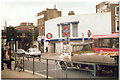
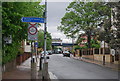
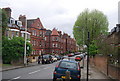
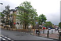
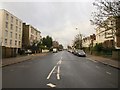
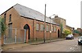
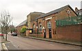
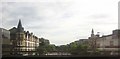
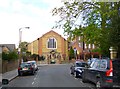
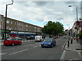
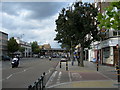
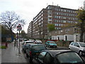
100 photos from this area
Area Information
Key information about the SW12 8HL including its size, population, and administrative classification.
- Area Type
- Postcode
- Area Size
- 4899 m²
- Population
- 1743
- Population Density
- 8316 people/km²
House Prices in SW12 8HL
24
Properties
£1,384,500
Average Sold Price
£265,000
Lowest Price
£2,270,000
Highest Price
Showing 24 properties
| Address | Type | Beds | Baths | Last Sale Price | Last Sale Date | |
|---|---|---|---|---|---|---|
| 110 Sarsfeld Road, London, SW12 8HL | Semi-detached | 4 | 4 | £1,315,000 | Jun 2025 | |
| 114 Sarsfeld Road, London, SW12 8HL | house | 5 | 4 | £1,662,000 | Mar 2025 | |
| 90 Sarsfeld Road, London, SW12 8HL | Semi-detached | 5 | 4 | £2,270,000 | Jun 2022 | |
| 116 Sarsfeld Road, London, SW12 8HL | house | - | - | £2,050,000 | Feb 2022 | |
| 100 Sarsfeld Road, London, SW12 8HL | house | - | - | £1,650,000 | Aug 2021 | |
| 92 Sarsfeld Road, London, SW12 8HL | Semi-detached | 5 | 2 | £1,200,000 | Feb 2018 | |
| 120 Sarsfeld Road, London, SW12 8HL | house | - | - | £1,200,000 | May 2017 | |
| 98 Sarsfeld Road, London, SW12 8HL | house | 5 | - | £1,770,000 | Apr 2015 | |
| 104 Sarsfeld Road, London, SW12 8HL | Terraced | 4 | 2 | £463,000 | Sep 1998 | |
| 124 Sarsfeld Road, London, SW12 8HL | Terraced | - | - | £265,000 | May 1997 |
Page 1 of 3
Energy Efficiency in SW12 8HL
Amenities
Schools
| Rank | School | Type | Entry gender | Ages |
|---|
Explore more schools in this area
Go to Schools tabDemographics
Household Size
Two person
most common
Accommodation Type
Flats
most common
Tenure
58
majority
Ethnic Group
White
most common
Religion
N/A
most common
Household Composition
N/A
most common
Age
47
median
Adults (30-64 years)
most common
Household Deprivation
N/A
with no deprivation
NS-SEC
66
in Lower managerial occupations
Explore more demographic insights in this area
Go to Demographics tabPlanning
Planning Constraints
- Flood RiskPremium
- Ramsar Wetland SitesPremium
- Area of Outstanding Natural BeautyPremium
- Protected Nature ReservePremium
- Protected WoodlandPremium